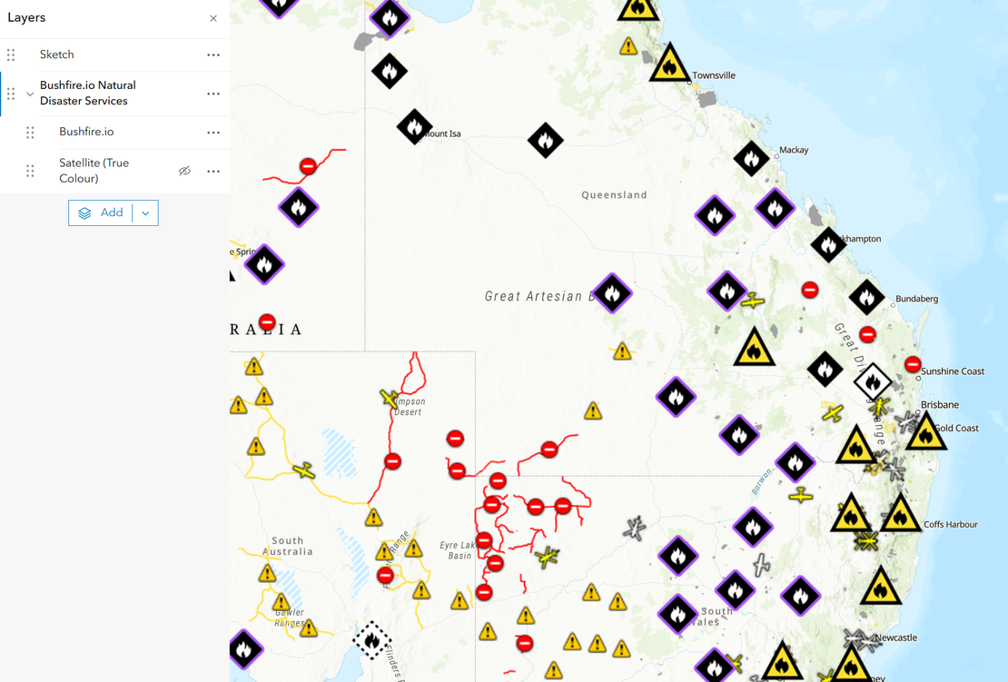
How do I connect Bushfire.io to ArcGIS and QGIS?
Bushfire.io GIS Services bring our live map into the GIS you already use. Warnings, incidents, hotspots, Possible Fire Ignitions and global near real-time satellite are published as standard WMTS, WMS and XYZ services, together with our Sentinel-2 basemap and 3D terrain. You connect with an access key that you create and manage yourself.
Read More