Using Different Wind Forecast Models
- Disaster Science
- Bushfire.io pro
- July 29, 2025
Table of Contents
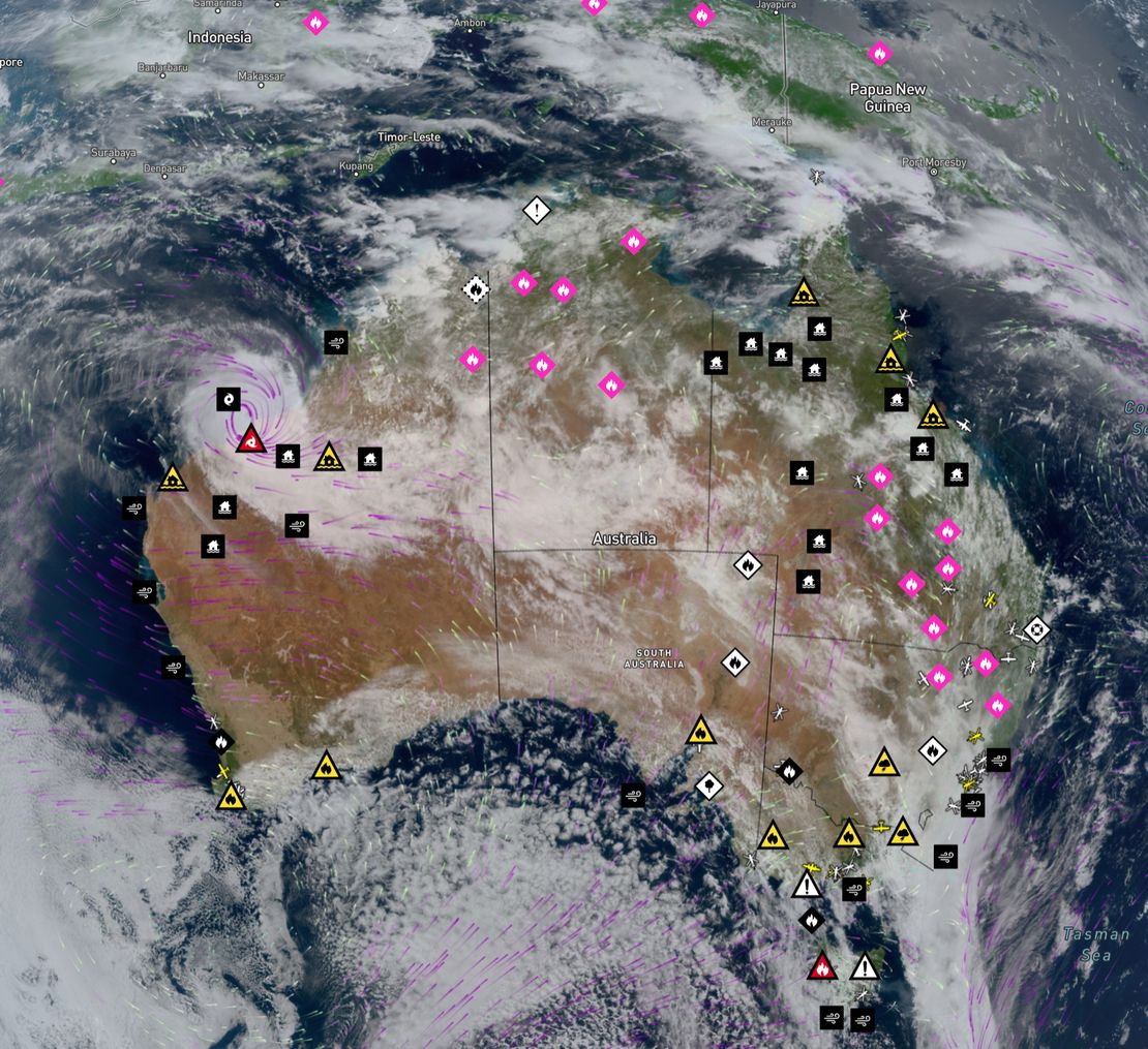
Bushfire.io Pro users can access multiple wind forecast models—including our new Australian Digital Forecast Database (ADFD) for Pro subscribers. ADFD is maintained by the Bureau of Meteorology (BoM) and better integrates local terrain and weather observations into its forecasts, making it especially reliable for Australian conditions.
Info
Requires a subscription to Bushfire.io Pro, Business or Enterprise.
Free vs. Pro Model Support
Free Users:
- GFS 1° – a global model provided by the National Oceanic and Atmospheric Administration (NOAA), updated 4 times per day.
Pro Users:
- GFS 0.25° (Global) – a higher-resolution version of GFS for more precise forecasts.
- HRRR (USA) – a high-resolution model optimized for short-term and localized weather events in the United States.
- NAM (USA) – a regional North American model that balances resolution and forecast duration.
- ADFD (Australia) – a detailed Australian model used in BoM’s own MetEye forecasts and official bulletins.
- ECMWF IFS, AIFS and AIFS Ensemble (Global) - highly detailed global models.
ADFD often outperforms GFS in Australia thanks to its finer resolution and integration of local features such as terrain, coastlines, and regional weather patterns. GFS, however, remains useful for its global reach and frequent updates—especially in areas lacking high-resolution regional models. Among global models, ECMWF’s IFS typically surpasses GFS in accuracy. The newer ECMWF AIFS (Single) further improves upon IFS, and the AIFS Ensemble is currently considered state of the art, offering leading performance across a range of forecast parameters.
Wind Model Comparison
Below is a quick-reference table highlighting our available wind models, their authors, coverage, typical accuracy, and other major uses.
| Model | Availability | Authors | Location / Domain | Approx. Resolution | Forecasts |
|---|---|---|---|---|---|
| Global Forecast System (GFS) 1° | Free | National Oceanic and Atmospheric Administration (NOAA) | Global | ~111 km (1 degree) | x4 daily |
| Global Forecast System (GFS) 0.25° | Pro | National Oceanic and Atmospheric Administration (NOAA) | Global | ~30 km | x4 daily |
| High-Resolution Rapid Refresh (HRRR) | Pro | National Oceanic and Atmospheric Administration (NOAA) | Continental US | ~3 km | hourly |
| North American Mesoscale (NAM) | Pro | National Oceanic and Atmospheric Administration (NOAA) | North America | ~12 km | 4x daily |
| Australian Digital Forecast Database (ADFD) | Pro | Bureau of Meteorology (BOM) | Australia | ~6 km (0.06 degrees) | 2x daily |
| Integrated Forecasting System (IFS) | Pro | European Centre for Medium-Range Weather Forecasts (ECMWF) | Global | ~9 km | 4x daily |
| Artificial Intelligence Forecasting System (AIFS Single) | Pro | European Centre for Medium-Range Weather Forecasts (ECMWF) | Global | ~25 km | 4x daily |
| Artificial Intelligence Forecasting System Ensemble (AIFS Ens) | Pro | European Centre for Medium-Range Weather Forecasts (ECMWF) | Global | ~31 km | 4x daily |
Why Offer Multiple Models?
Note
While some models offer finer resolution, they may cover smaller areas or shorter forecast periods. Likewise, a model with frequent updates may not be as granular but can capture rapidly changing conditions more effectively.
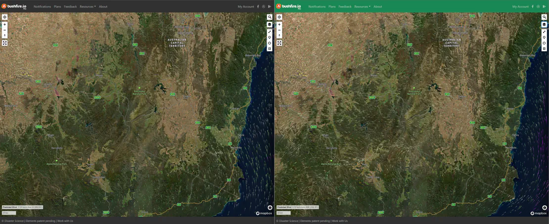
Different models excel under different conditions. High-resolution models like HRRR or ADFD may capture local effects more accurately, but more frequent updates from a global model can better reflect on-the-ground changes—especially where local data is sparse. We recommend comparing forecasts to ground-truth wind barbs or live observations if available, to gain the most comprehensive understanding of current conditions.
By using a combination of global coverage (GFS / ECMWF) and regional insights (ADFD, HRRR, NAM), you have the best possible data wherever you are. Whether you’re monitoring a broad region days ahead or need precise forecasts over a shorter window, you can choose the model that best fits your scenario.
As of July 2025, we’ve recently added the suite of ECMWF forecasts. Of these additions, the ECMWF AIFS Ensemble outperforms existing forecasts by up to 20% on some parameters - learn more about AIFS Ensemble.