Learn more about Possible Fire Ignitions
- Disaster Science
- Bushfire.io pro
- February 28, 2025
Table of Contents
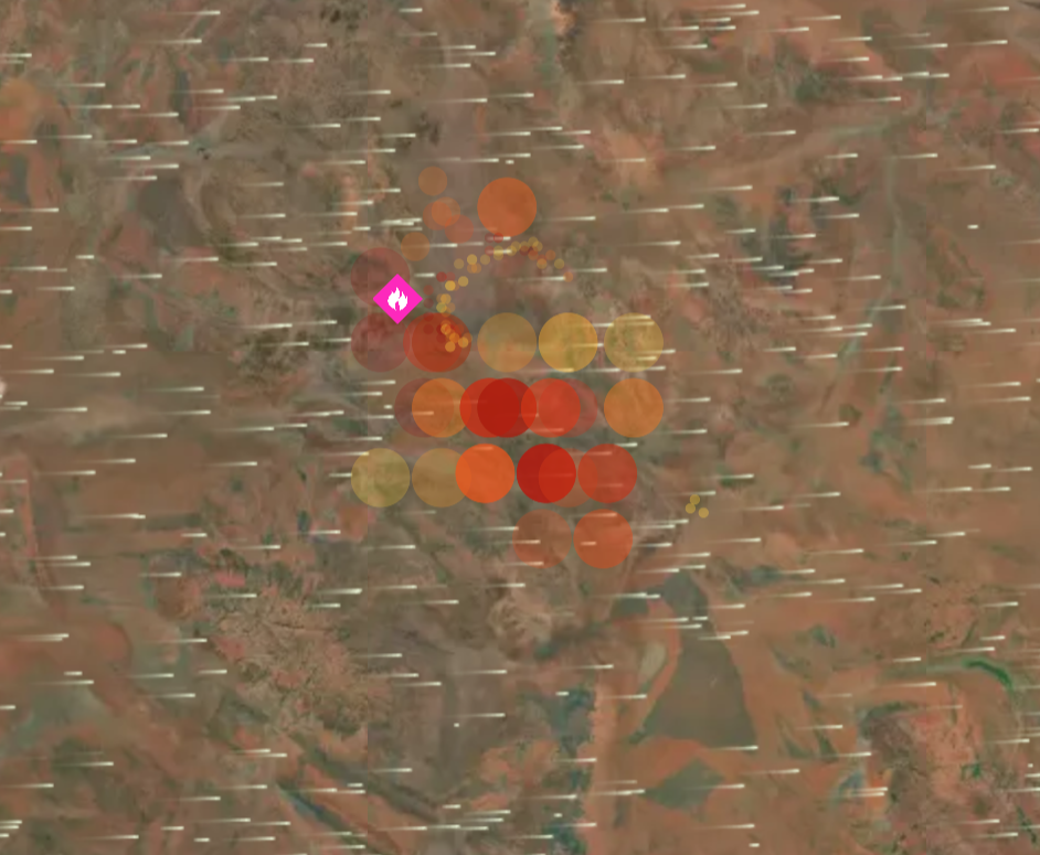
Possible Fire Ignitions merges real-time lightning data with satellite-detected thermal hotspots.
Info
Requires a subscription to Bushfire.io Pro, Business or Enterprise.
What are Possible Fire Ignitions?
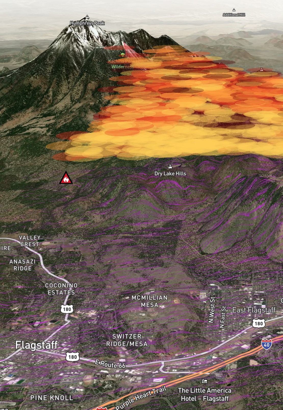
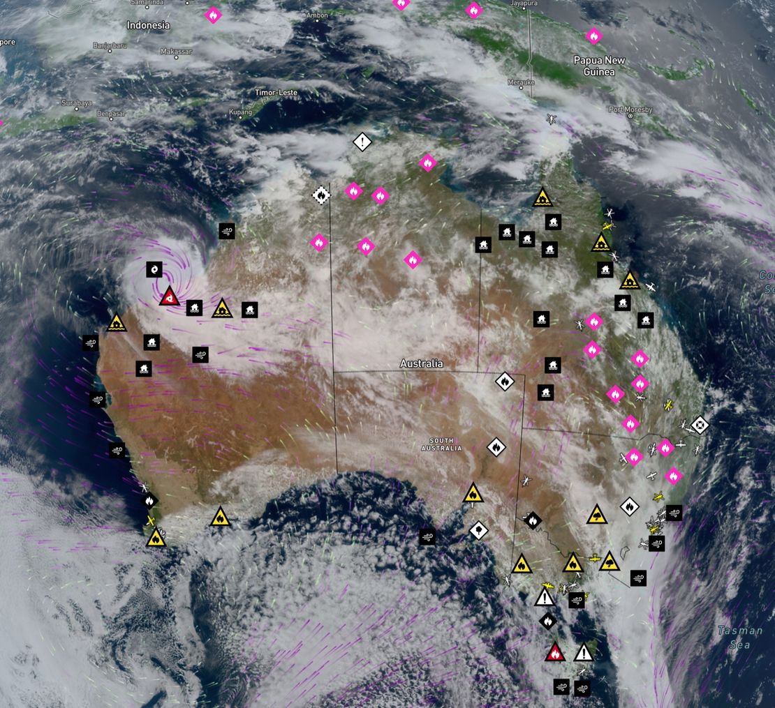
It’s a new feature available in Bushfire.io Pro that merges real-time lightning data with satellite-detected thermal hotspots. By combining these two datasets using advanced machine learning, the system can pinpoint early signs of potential fire ignitions, enabling quicker and more focused responses.
How do I use this feature?
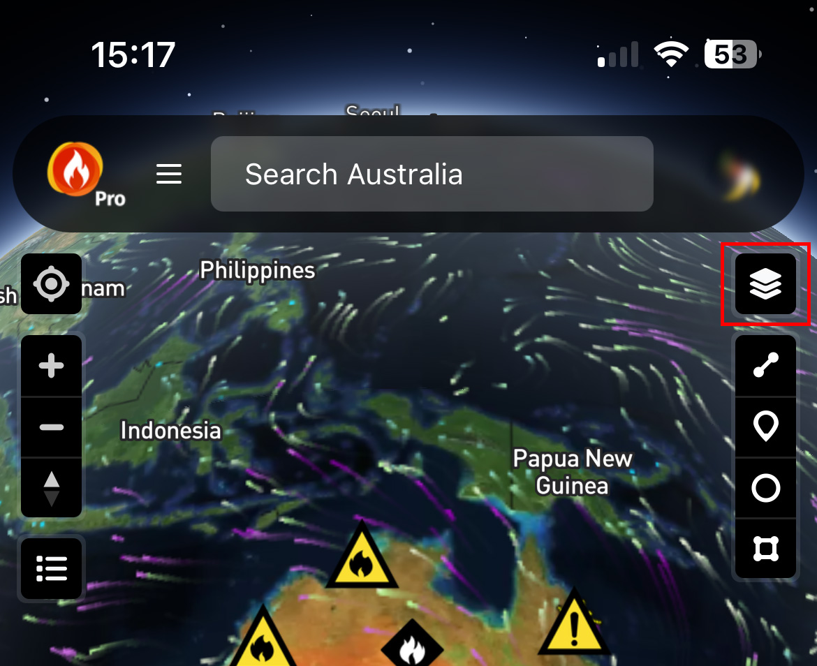
You’ll need to be subscribed to Bushfire.io Pro. Once you are, simply look for the “Possible Fire Ignition” layer in the Layer Control. Enabling this layer overlays the fire ignition data directly onto your map, helping you visualise and track potential threats.
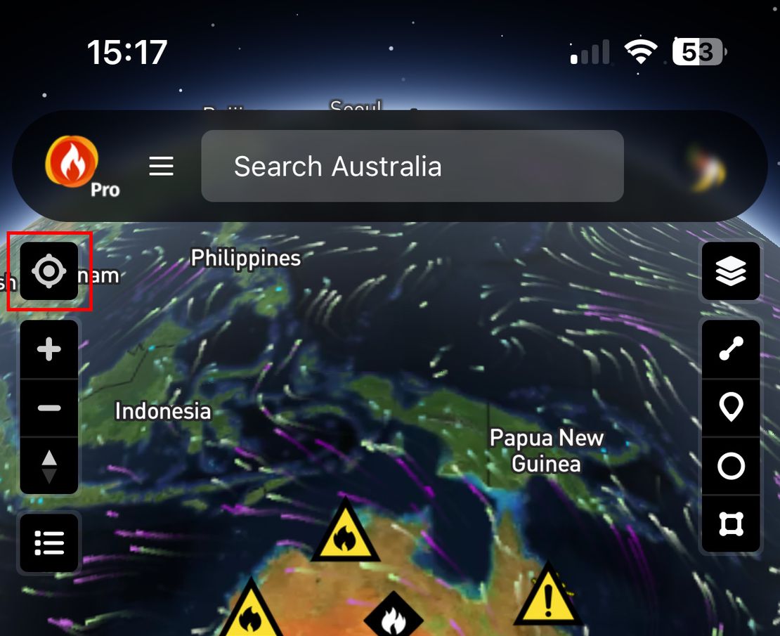
What does the icon look like?
The Possible Fire Ignitions icon is distinctive and easy to identify on the map, ensuring you can quickly recognise areas of potential risk.
How fast is the detection process?
Lightning strikes: Detected in real time—literally seconds after they occur.
Satellite imagery: Satellites like Himawari update every 10 minutes. However, full disk scans take about 10 minutes, and transferring the HRIT data requires an additional 5–7 minutes.
Processing: Our engineered solution processes this data in just a few seconds, ensuring the overall detection cycle is remarkably swift.
Which data sources are used?
Our system integrates several high-quality data sources to deliver accurate detections:
Lightning Data: Sourced from WeatherZone for comprehensive, real-time lightning strike coverage.
Satellite Imagery: Includes geostationary satellites (e.g., Himawari) and sun-synchronous satellites (e.g., NOAA-20-21, Suomi NPP) to rapidly capture thermal hotspots.
Additional Intelligence: Further datasets and analysis techniques are combined to enhance detection accuracy.
How does the system manage accuracy and false positives?
By merging lightning and hotspot data, we reduce false positives significantly. The predictive model narrows down millions of raw data points to a small, actionable set of potential ignitions. Nonetheless, a disclaimer is provided with each detection, reminding users to perform independent verifications as this is an experimental approach continuously being refined.
What information is included in each detection report?
Each detection report includes:
Timestamps: Detailed records of when the lightning strike occurred, when the hotspot was detected, and the processing time.
Event Metrics: Data such as the interval from lightning strike to hotspot detection, number of pulses, and detected amperage.
Contextual Data: Information on nearby incidents, hotspots, and ground strikes.
Method and Source: Identification of the detection method (e.g., Ignition v1) and confirmation that it was detected by Bushfire.io.
Disclaimer: A note indicating that the predictive model’s output should be independently verified.
How are notifications handled for Pro users?
Bushfire.io Pro users can set up customised notifications to ensure timely alerts. Notification options include:
Push Notifications
Email Alerts
SMS Messages
Enterprise Webhooks
This flexible system helps users, from land managers to emergency services, mobilise resources quickly when a potential ignition is detected.
What is the significance of integrating lightning and hotspot data?
By combining these two datasets, the system:
Enhances Early Warning: Mitigates the blind spots inherent in using lightning data or satellite imagery alone, enabling faster identification of emerging fire threats.
Improves Operational Efficiency: Streamlines vast amounts of raw data into focused, actionable insights for faster decision-making in critical moments.
Who can benefit from this feature?
Possible Fire Ignitions is designed to support a wide range of stakeholders, including:
Farmers and landowners
Fire agencies and emergency services
Businesses with assets at risk
Academic and research institutions (see below for academic access)
Is this information available for academic institutions?
Yes, academic institutions can access this information. Please reach out to us at [email protected].
Is it available for businesses and agencies?
Yes, businesses and agencies can also access this information. Please contact us at [email protected].
How do I access or learn more about Possible Fire Ignitions?
Possible Fire Ignitions is available now exclusively for Bushfire.io Pro and Bushfire.io Business subscribers. To upgrade or get further details, visit Bushfire.io Plans or contact us directly at [email protected].