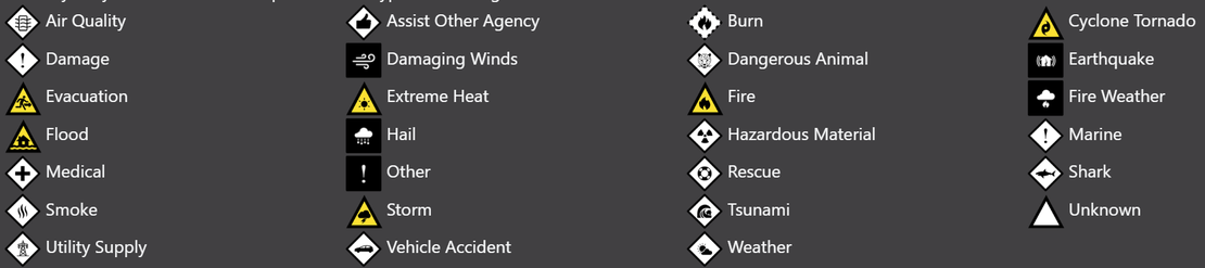
What do the icons mean?
- Disaster Science
- Bushfire.io
- December 29, 2022
Table of Contents
While we have attempted to make the symbols, icons and colours as intuitive as possible, there can be a lot to interpret.
What does this icon mean?
Each icon we show is based on a rule:
Info
Warning Level + Threat Level + Event Type = The Icon Shown
- The colour of the icon will indicate the Warning Level.
- The shape of the icon will indicate the Threat Level.
- The glyph (symbol) within the icon will indicate the Event Type.
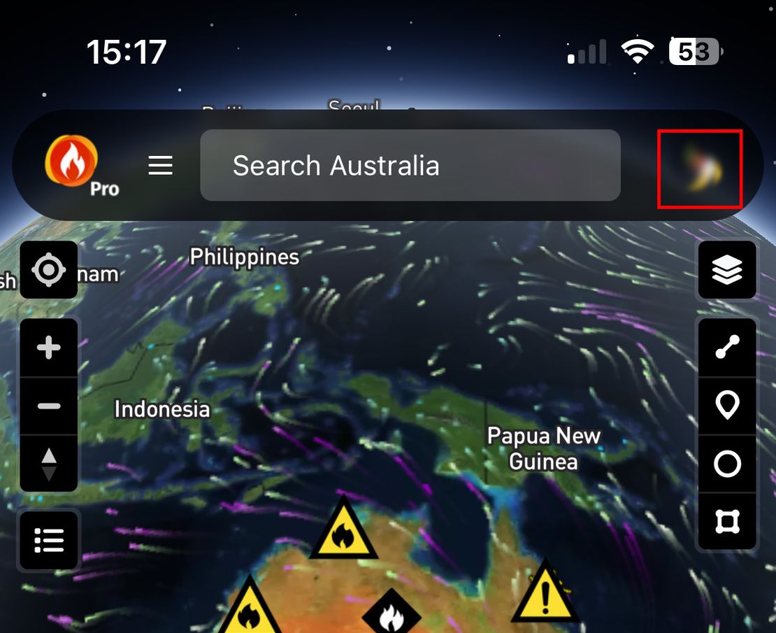
How to view the Symbol Legend
To understand the Warning Levels, Threat Levels and Event Types in use, you can access the Symbol Legend within the Bushfire.io App or via our website at https://bushfire.io.
Click here to the Symbol Legend within the App to understand how our symbols work. Or:
- Visit https://bushfire.io or open the Bushfire.io App.
- Click on the layer control in the top right.

- Select Help and then View Symbol Legend.

Why don’t you just list every icon?
We could, but currently there could be up to 360 icons to show… This is a lot to look at and memorise, but learning a few rules is achievable.
An icon isn’t shown in the symbol legend…
We don’t exhaustively show every icon (see above and see the Symbol Legend). As of January 2023, the Symbol Legend will show all icons the map is capable of displaying but not all variants (e.g., shapes and colours) are shown in the legend as there are just too many icons to display exhaustively.