How do I connect Bushfire.io to ArcGIS and QGIS?
- Disaster Science
- Bushfire.io enterprise
- September 25, 2026
Table of Contents
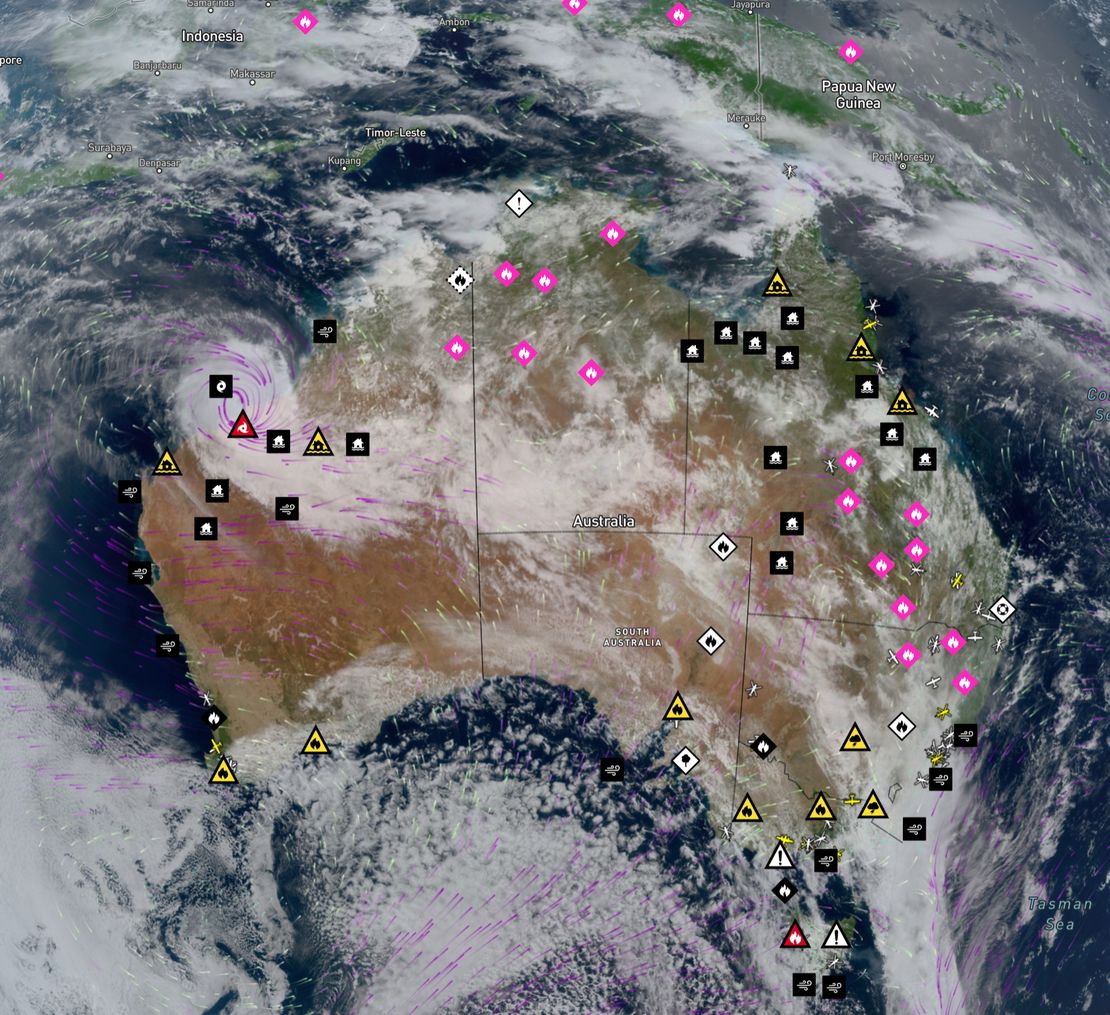
Bushfire.io GIS Services bring our live map into the GIS you already use. Warnings, incidents, hotspots, Possible Fire Ignitions and global near real-time satellite are published as standard WMTS, WMS and XYZ services, together with our Sentinel-2 basemap and 3D terrain. You connect with an access key that you create and manage yourself.
Info
Requires a subscription to Bushfire.io Enterprise. WFS needs the Data add-on. Interested in raw data? Talk to us.
What you get
| Service | Best for | Plan |
|---|---|---|
| WMTS | ArcGIS and QGIS overlays and basemaps, with fast cached tiles | Enterprise |
| XYZ | Web maps and apps, and ArcGIS Online tile layers | Enterprise |
| WMS | Rendering at any scale, printing and legends | Enterprise |
| WFS | Feature geometry and attributes for analysis | Data add-on |
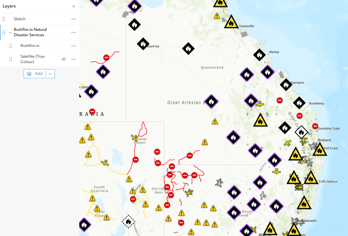
Every service lists the same layers: the combined Bushfire.io layer, then individual warnings, incidents, hotspots, Possible Fire Ignitions, road closures, fire danger ratings, near real-time satellite imagery and the Sentinel-2 basemap.
Near real-time satellite is our global true-colour composite from geostationary weather satellites, available within 10 to 20 minutes of capture. It is listed as Satellite (True Colour) in WMTS and WMS, and as an XYZ template on your Developers page.
1. Create an access key
- Sign in to Bushfire.io and open Account > Actions > Tokens and GIS, or go straight to bushfire.io/ux/account/developers.
- Beside Access Keys, select the add button to open Create an Access Key.
- Name the key after the team or tool that will use it.
- Choose when it expires. A key never outlives your licence.
- Under Geospatial Services, keep the services you need: XYZ Tiles, OGC WMTS, OGC WMS and, with the Data add-on, OGC WFS.
- Select Create key and copy the key straight away. It is shown only once; if it is lost, revoke it and create another.
The Endpoints section of the same page lists your WMTS, WMS and WFS capabilities URLs and an XYZ template, ready to copy. Replace YOUR_KEY with your key. The WMTS URL looks like this:
https://tiley.bushfire.io/v1/ogc/wmts?SERVICE=WMTS&REQUEST=GetCapabilities&token=YOUR_KEY
Create one key per team or tool. Each key shows when it was last used, and you can revoke one without disturbing the others.
2. QGIS
- In the Browser panel, right-click WMS/WMTS and choose New Connection.
- Name it
Bushfire.ioand paste the WMTS capabilities URL, key included. Alternatively, leave&token=YOUR_KEYoff the URL and enter the key as the Password under Authentication, with any user name. - Select OK, expand the connection, and drag Bushfire.io or individual layers onto the map.
WMS works the same way with the WMS capabilities URL. For WFS, create the connection under WFS / OGC API - Features with the WFS capabilities URL.
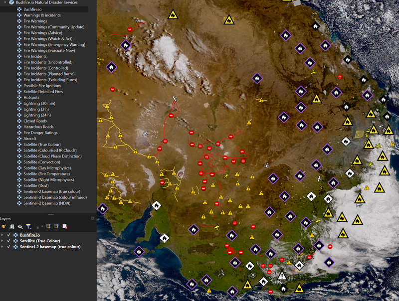
3. ArcGIS Pro and ArcGIS Online
ArcGIS Pro
- On the Insert tab, choose Connections > Server > New WMTS Server (or New WMS Server).
- Paste the capabilities URL, key included, as the Server URL. If you prefer, paste it without
&token=YOUR_KEYand add a custom request parameter namedtokenwith your key as its value. - Select OK, then add layers from the connection in the Catalog pane.
ArcGIS Online
- In Map Viewer, select Add > Add layer from URL.
- Paste the WMTS or WMS capabilities URL, key included, and choose the layers to add.
- For an XYZ tile layer, use the XYZ template from your Developers page, with
{z}/{x}/{y}written as{level}/{col}/{row}.
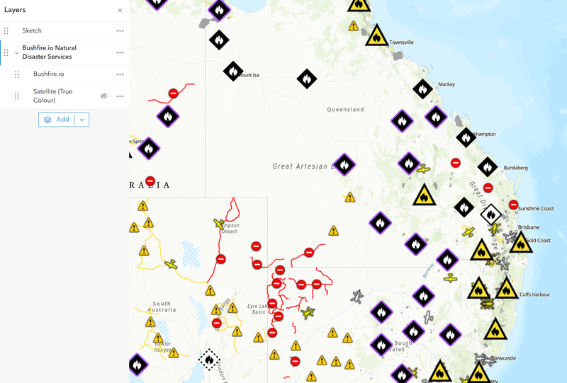
4. The Sentinel-2 basemap
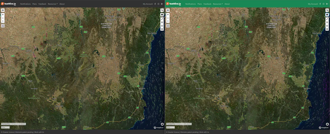
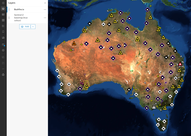
Our basemap is a cloudless 10 m mosaic from the Copernicus Sentinel-2 satellites, refreshed every quarter. It is recent and consistent from one region to the next, unlike aerial patchworks captured years apart, which makes it well suited to forestry, vegetation along easements and around assets, and land cover change.
With Enterprise, use it anywhere as XYZ tiles: in your own web maps and apps as well as your GIS. The XYZ templates for each view are on your Developers page, and WMTS and WMS list it as three layers:
- Sentinel-2 basemap (true colour): natural colour.
- Sentinel-2 basemap (colour infrared): vegetation renders red, so health, clearing and regrowth stand out.
- Sentinel-2 basemap (NDVI): a vegetation index through a colour ramp.
Infrared and NDVI are also in the Bushfire.io app for Pro, Business and Enterprise: choose Satellite Infrared or Satellite NDVI under Map Style.
3D terrain
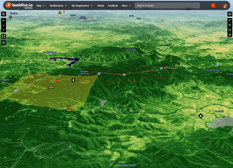
Every view sits on 5 m LiDAR elevation across much of Australia and a 30 m global elevation model elsewhere. With Enterprise, the elevation is also available as XYZ tiles in Terrarium encoding for 3D web maps and GIS; the template is on your Developers page.
Credits
When you display or publish the basemap, include Contains modified Copernicus Sentinel data 2026. For elevation, include Terrain: Mapterhorn, Geoscience Australia (CC BY 4.0), Copernicus GLO-30.
Four-band archives (red, green, blue and near-infrared) for your region are available on request, delivered each quarter. Talk to us.
Keeping keys safe
- A key carries your licence, not your login: it cannot change your account, billing or users.
- Revoke a key at any time from Tokens and GIS. The API refuses it straight away, and the map services within a day.
- Keys stop working when they expire, and never last beyond your licence. After renewing, create new keys.
- Keys are for your organisation’s own GIS and systems. Showing our layers or basemap on public websites or in public apps needs a separate arrangement; see our Terms of Service or talk to us.
Troubleshooting
- 401 Unauthorized: the key was revoked, has expired, or was pasted incompletely. Check it on your Developers page, or create a new one.
- 403 Forbidden: the key does not include that service (for example, WMS on a key created for WMTS only), or your plan does not include it. Create a key with the services you need.
- A layer is missing from the list: some layers need a particular plan or add-on. Talk to us if you expected to see it.