How to customise what is shown on the map

How to customise what is shown on the map

Table of Contents

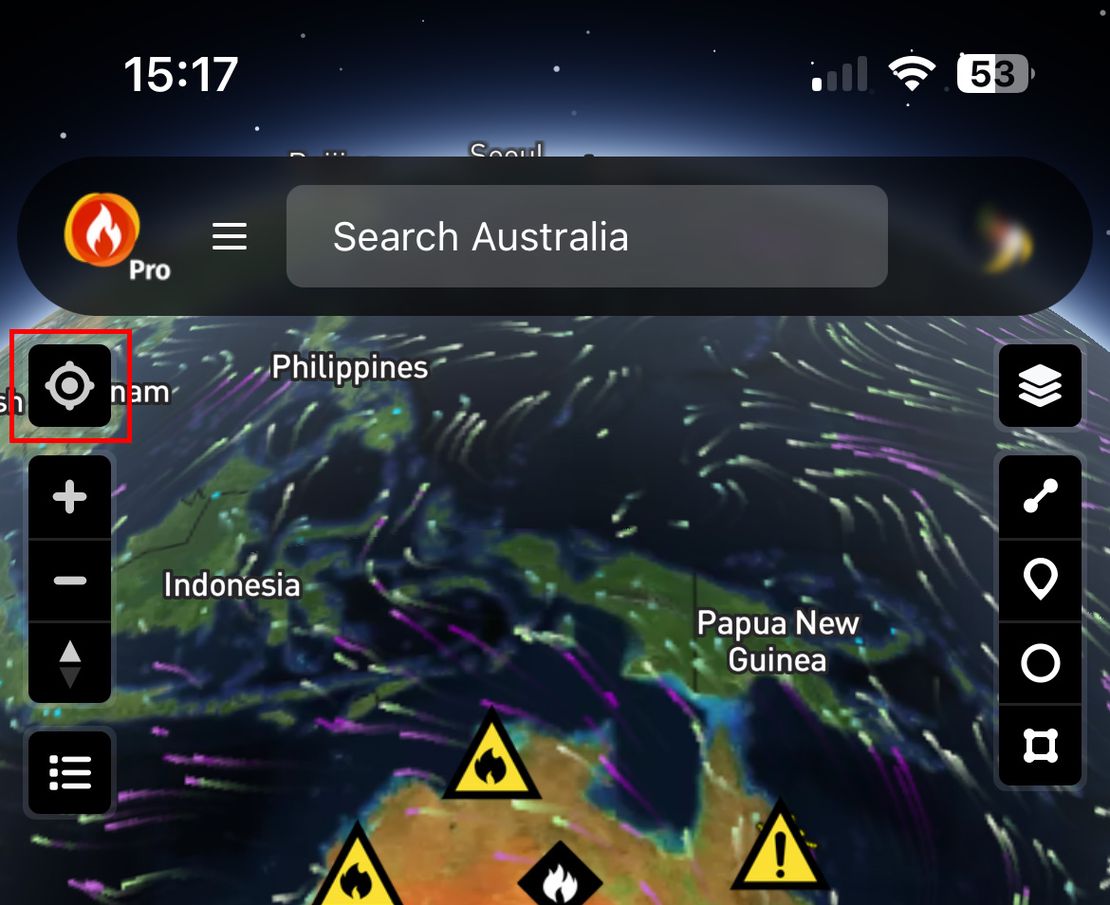
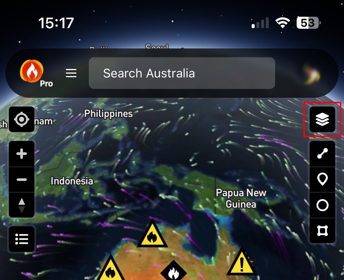
You can customise what is shown on the map by turning layers on or off.

  1. Visit https://bushfire.io or open the Bushfire.io App.
  2. Click on the layer control in the top right.
  3. Choose which layers you would like shown or not.

Reset the map

  1. Open the Layer Control (top-right).
  2. Select Actions > Reset to Default.

Related Posts

How-to use different wind models

How-to use different wind models

Bushfire.io Pro users can access multiple wind forecast models—including our new Australian Digital Forecast Database (ADFD) for Pro subscribers. ADFD is maintained by the Bureau of Meteorology (BoM) and better integrates local terrain and weather observations into its forecasts, making it especially reliable for Australian conditions.

Read More
How to fix “Failed to initialize WebGL”

How to fix “Failed to initialize WebGL”

WebGL was introduced with Bushfire.io v3. We use WebGL to display interactive content on the map. It helps us to display content as quickly as possible by using your computer’s graphics card for certain intensive operations, such as flying around the map. Using WebGL has allowed us to reduce CPU, memory usage and improve responsiveness.

Read More
Why is my location not accurate?

Why is my location not accurate?

You may notice your device may not have been located to where it is in the real-world

Read More