Telecommunications
Keep the network up when the region needs it most
When a fire or storm hits, communities lean on your network to call for help and get warnings. Bushfire.io tells your teams which towers, exchanges and fibre routes are in harm’s way, as it happens.
Trusted by

The challenge
What makes it hard
Thousands of sites, dozens of feeds
Every state agency publishes warnings differently. Watching them all for every site isn’t realistic.
Minutes matter
Crews need to know where it is safe to work, and which sites to protect or power up first.
Vegetation along routes
Overgrown easements and sites raise fire risk and slow restoration.
How Bushfire.io helps
What you get
Alerts on every site
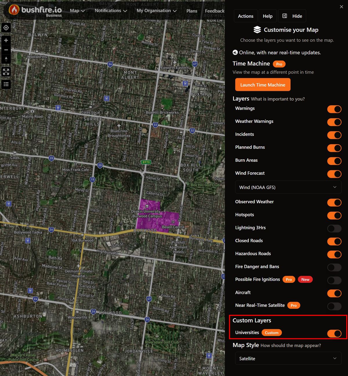
Load towers, exchanges and depots as a custom layer and alert the right teams when a warning, incident or possible ignition comes near.
Learn more
Webhooks into network operations
Feed every change into your NOC tooling and ticketing, filtered to the areas and alert levels you care about.
Learn more
In practice
See vegetation along every route
The S2 basemap’s NDVI view makes regrowth around sites and along corridors stand out, quarter by quarter, across the whole network.
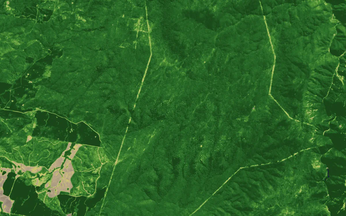
Easements in NDVI near Talbingo, NSW. Contains modified Copernicus Sentinel data 2026.
See your assets on the live map
Tell us what you look after and where. We’ll show you what Bushfire.io would have told your team this season, in 20 minutes.