Mining and resources
Hazard awareness for remote operations
Mines, camps, rail lines and ports sit in some of the most fire- and cyclone-exposed country there is. Bushfire.io keeps every site and route under watch, and puts a current view of the ground in your GIS.
The challenge
What makes it hard
People spread across remote sites
Camps, crews and contractors need to know about fires and storms early, wherever they are.
Rail, roads and ports
Closures and hazards on supply routes ripple through the whole operation.
Ground that keeps changing
Pits, dumps and rehabilitation move faster than most imagery is updated.
How Bushfire.io helps
What you get
In practice
Watch sites change, quarter by quarter
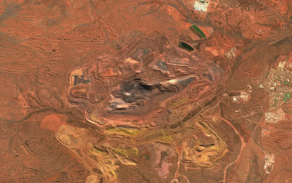
Pits, dumps, haul roads and rehabilitation in true colour and colour infrared, rebuilt every quarter so the basemap keeps up with the operation.
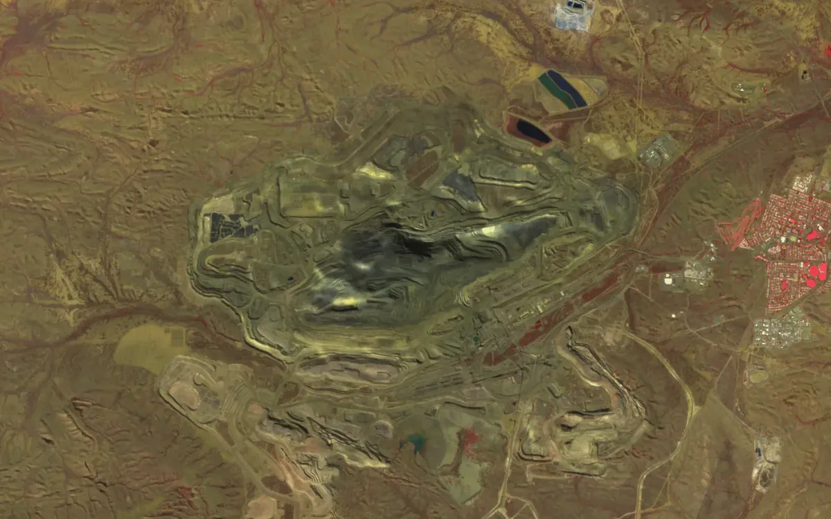
Mount Whaleback, Pilbara, WA, in colour infrared. Contains modified Copernicus Sentinel data 2026.
See your assets on the live map
Tell us what you look after and where. We’ll show you what Bushfire.io would have told your team this season, in 20 minutes.