Government and emergency services
One common picture for every agency and council
Warnings, incidents, hotspots, roads and satellite from every jurisdiction in one consistent model. Share it across departments, bring it into your GIS, review events afterwards, or publish your own warnings on a branded public map.
The challenge
What makes it hard
Cross-border events
Fires and storms ignore state and council boundaries, but data doesn’t.
Many teams, one picture
Planning, operations, recovery and communications need the same view.
Learning after the event
Reviews need to know what was known, and when.
How Bushfire.io helps
What you get
Every agency on one map
Warnings and incidents from agencies across Australia, the US, Canada and Europe in one map and one data model.
Learn more
Shared layers and team alerts
Share refuges, water points and critical sites across departments, with alerts.
Learn more
In practice
Built for the public’s worst day
1.24M visitors relied on Bushfire.io in a single month of the 2025 to 2026 summer. The same platform can carry your warnings, under your name.
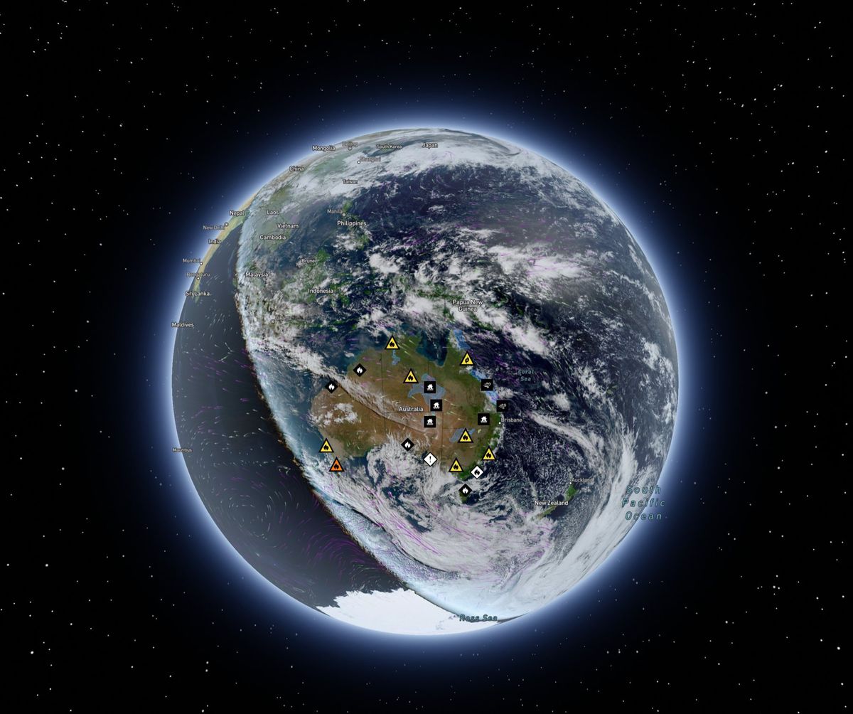
Bushfire.io on the 3D globe with live warnings across Australia.
See your assets on the live map
Tell us what you look after and where. We’ll show you what Bushfire.io would have told your team this season, in 20 minutes.