Forestry and vegetation
Quarterly NDVI across every compartment and easement
See harvested, replanted and maturing compartments, regrowth under lines and stressed vegetation across whole estates, rebuilt every quarter. Then get alerted when fire threatens the estate.
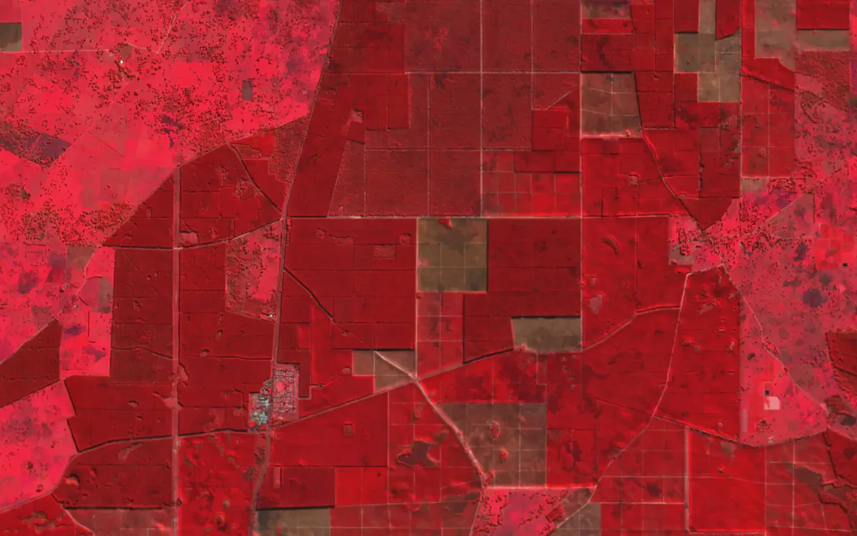
The challenge
What makes it hard
Large estates, old imagery
Aerial imagery is expensive and often years old by the time it is used.
Fire is the biggest risk to the estate
Early warning of new ignitions buys time to respond.
Change is what matters
Comparing one season with the next needs consistent imagery.
In practice
Harvested, replanted and maturing, at a glance
NDVI separates bare, regrowing and mature compartments clearly, and the quarterly refresh shows what changed.
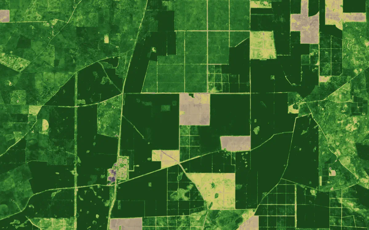
Pine plantations near Nangwarry, SA, in NDVI. Contains modified Copernicus Sentinel data 2026.
See your assets on the live map
Tell us what you look after and where. We’ll show you what Bushfire.io would have told your team this season, in 20 minutes.