Energy and utilities
Every threat along every kilometre of corridor
Lines, pipelines and plants cross country where fires and storms start. Bushfire.io watches the hazards for you and tells control rooms and field crews what is coming, with quarterly vegetation views of every easement.
The challenge
What makes it hard
Assets cross thousands of kilometres
Linear assets pass through many agency jurisdictions, each with its own warning formats.
Fire near assets is a safety and supply risk
Operators need early notice to de-energise, isolate or protect assets and crews.
Vegetation management never stops
Regrowth under lines and along pipelines has to be found before it becomes a hazard.
How Bushfire.io helps
What you get
Corridor alerts
Load lines, pipelines and sites as custom layers. Alert control rooms when a warning, incident or possible ignition comes within range.
Learn more
Possible Fire Ignitions
Hear about likely new fires near assets from lightning and satellite heat, often before an official report.
Learn more
In practice
Find regrowth before it finds your lines
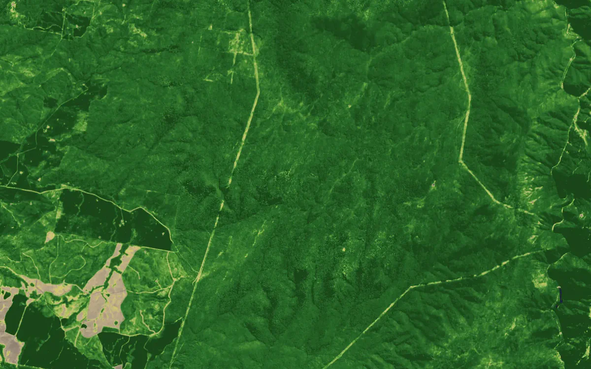
Colour infrared and NDVI turn vegetation under lines and along pipelines into a clear signal, rebuilt every quarter so change shows up.
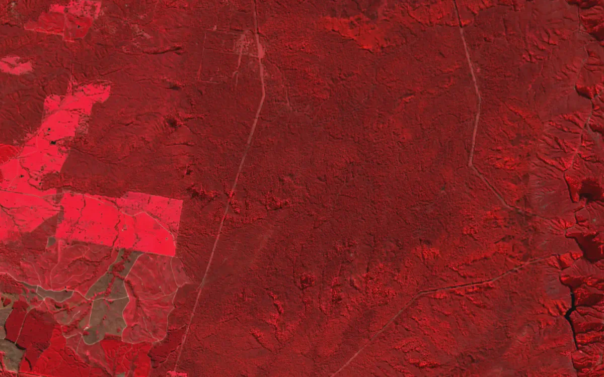
Easements in colour infrared near Talbingo, NSW. Contains modified Copernicus Sentinel data 2026.
See your assets on the live map
Tell us what you look after and where. We’ll show you what Bushfire.io would have told your team this season, in 20 minutes.