Agriculture
Paddock-scale vegetation, every quarter, with live hazards on top
See irrigated and dryland paddocks, pasture condition and change across whole regions in 10 m NDVI, and get warned when fire, storms or floods threaten stock, crops and people.
The challenge
What makes it hard
Large areas to watch
Paddocks, leases and properties spread across regions.
Fire and storms move fast
Stock, machinery and people need warning in time to move.
Seasonal change
Comparing condition across seasons needs consistent, recent imagery.
In practice
Irrigated and dryland, side by side
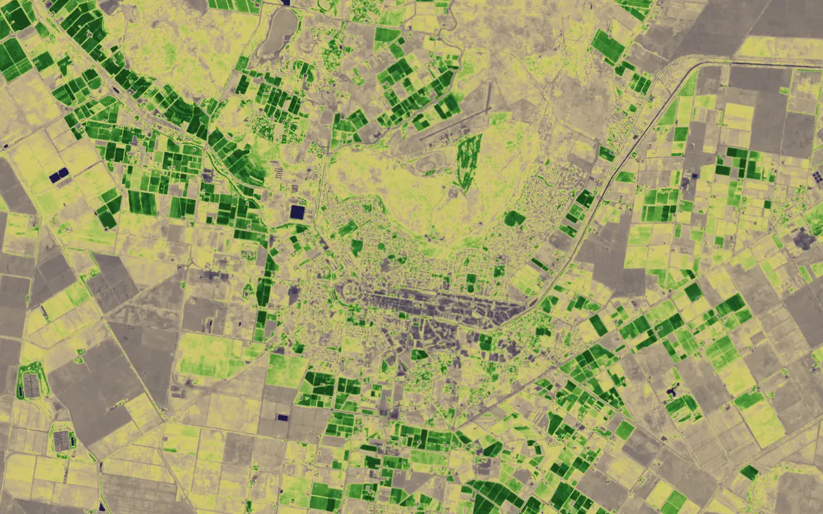
Quarterly NDVI shows irrigation, cropping and pasture condition clearly across entire districts.
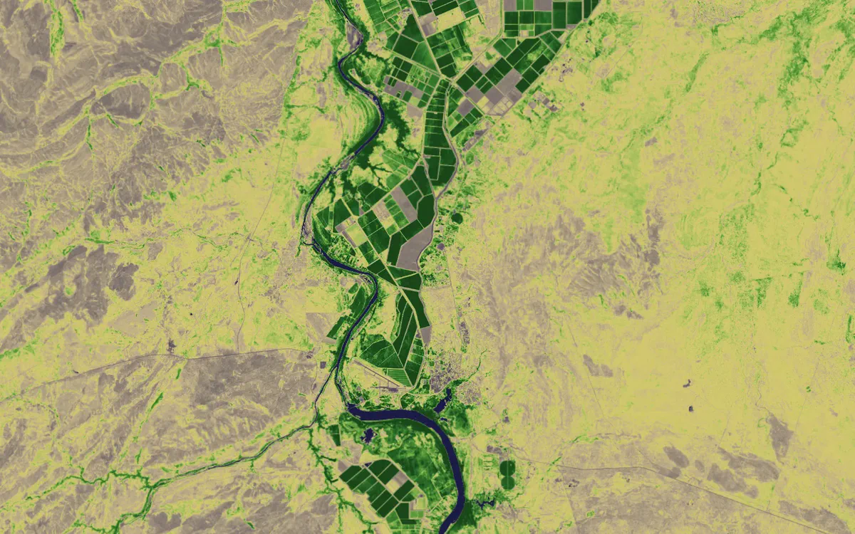
Ord River irrigation area, WA, in NDVI. Contains modified Copernicus Sentinel data 2026.
See your assets on the live map
Tell us what you look after and where. We’ll show you what Bushfire.io would have told your team this season, in 20 minutes.