Bushfire.io Enterprise
Know when your people and sites are at risk
One organisation-wide licence. Alerts on every site you manage. Webhooks and APIs into the tools your teams already run, and our live layers and S2 basemap inside your GIS.
Relied on by
Trusted by organisations that keep Australia running



How it works
We join the feeds. You choose where they land.
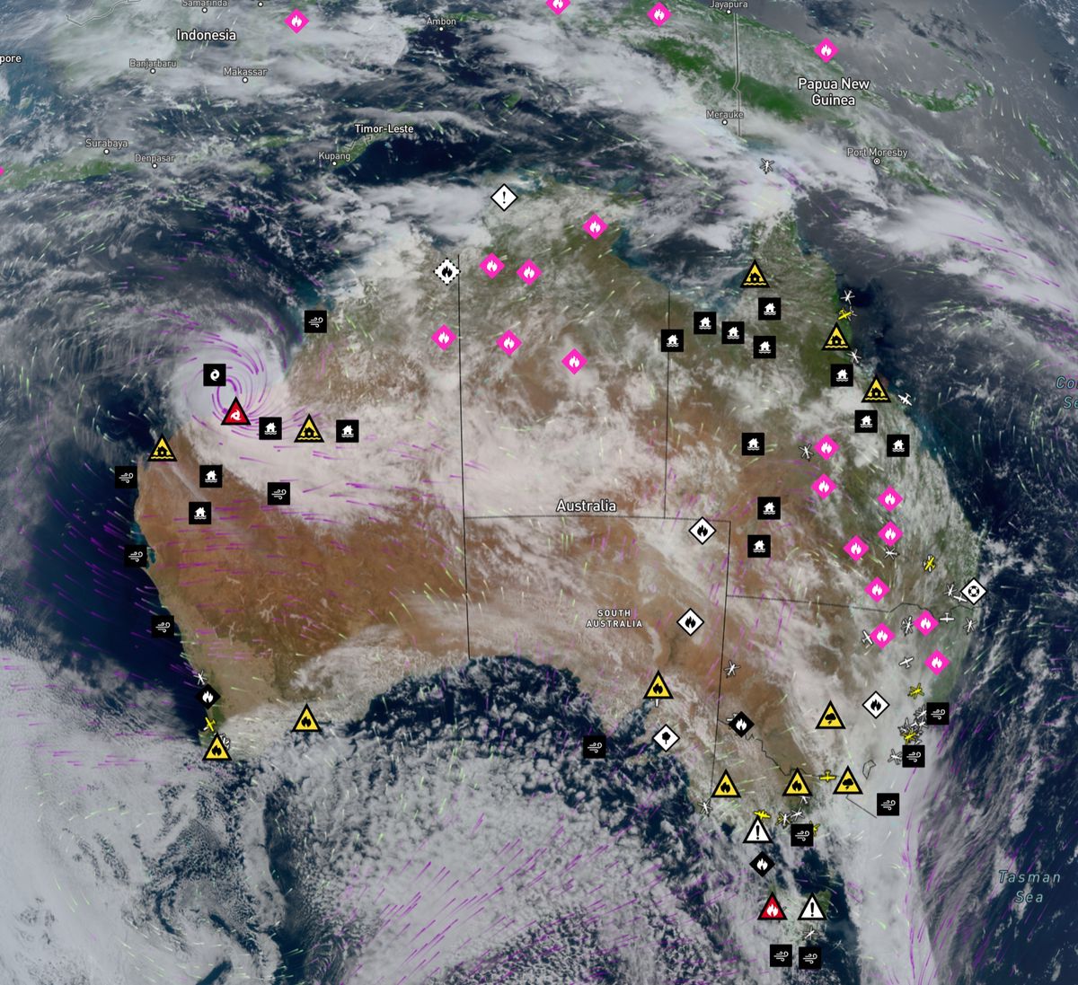
Dozens of agency, satellite and weather feeds, cleaned and joined into one consistent model, then delivered the way each team needs it.
Sources
- Emergency agencies and weather services in Australia, North America and Europe
- Satellite hotspots and geostationary imagery
- Lightning and Possible Fire Ignitions
- Roads, wind and fire danger
Platform
- Bushfire.io
Delivered as
- Alerts by push, SMS and email
- Webhooks on every change
- REST API and access keys
- WMTS, WMS, XYZ and WFS
Into
- Staff on the ground
- Operations centres and SCADA
- ArcGIS, QGIS and FME
- Your own apps and portals
What you get
Everything in Business, across the whole organisation
Custom layers and asset alerts
Load sites, corridors and areas from GeoJSON or draw them. Alert the right people when a warning, incident or possible ignition comes within range.
Custom layers guide
Webhooks and REST API
Every new, updated and removed event as a webhook, plus a REST API for incidents, warnings, roads, weather and Possible Fire Ignitions.
Developer docs
GIS Services
WMTS, WMS and XYZ of our live layers and global near real-time satellite for ArcGIS, QGIS and FME. WFS with the Data and API Access add-on.
GIS Services
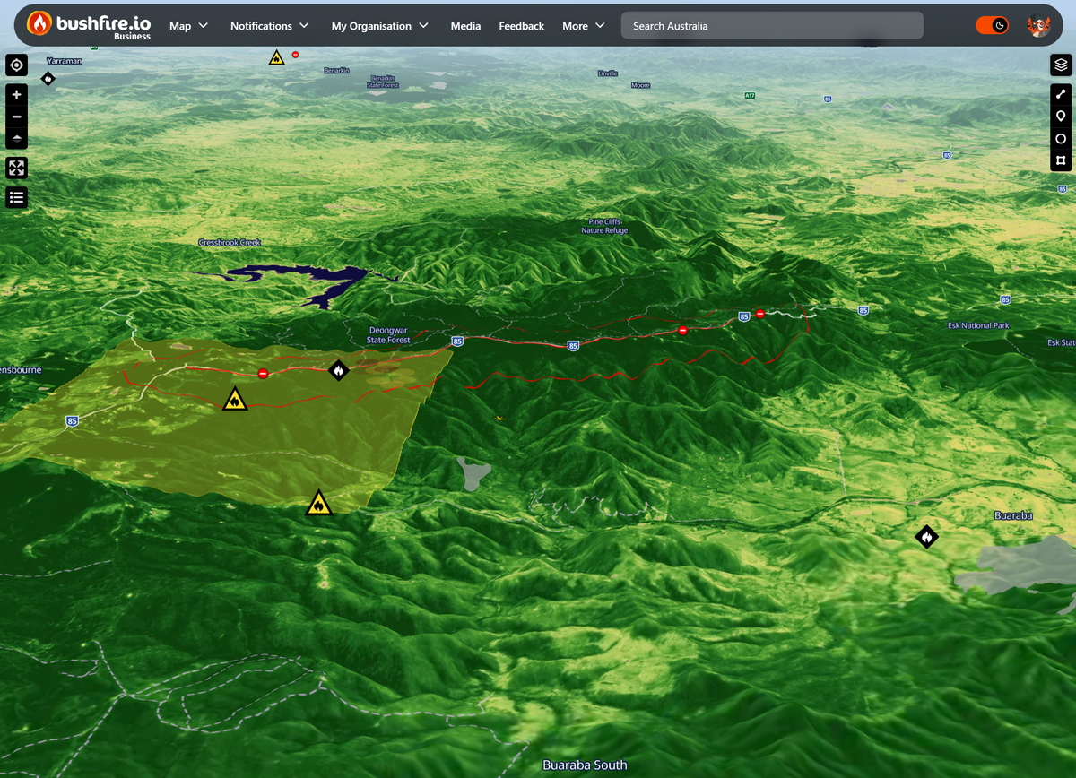
S2 basemap and 3D terrain
Our cloudless 10 m quarterly Sentinel-2 mosaic in true colour, colour infrared and NDVI, for your own apps, websites and GIS.
S2 basemap
Organisation-wide licensing
One subscription for the organisation and its subsidiaries. No per-user billing, with central control of users, managers and access.
Managing users
Priority support and SLAs
Onboarding, priority response and service levels agreed with you, from the team that builds the platform.
Webhooks
Know the moment something changes
Register an HTTPS endpoint and choose the areas, event types and alert levels you care about. We POST a JSON event to it whenever a matching event is created, updated or removed, so your own systems can open a ticket, page a duty officer or update a dashboard.
- The same filters as our push alerts: areas, custom layers, classes and severity
- One consistent model across every agency and country
- Full event history through the REST API
{
  "verb": "update",
  "webhookId": "wh_2f9c...",
  "event": {
    "eKey": "...",
    "eventClass": "warning",
    "alertLevel": "watchAndAct",
    "eventStatus": "active",
    "title": "Bush fire: Example Road, Exampleton",
    "region": "au",
    "geometry": { "type": "Point", "coordinates": [149.13, -35.28] },
    "timestampUpdatedByAgency": "2026-01-09T04:12:00Z"
  }
}
app.post("/hooks/bushfire", express.json(), (req, res) => {
const { verb, event } = req.body;
if (event.alertLevel === "emergencyWarning") {
pageDutyOfficer(event.title, event.geometry);
}
res.sendStatus(204);
});Possible Fire Ignitions
Hear about new fires before they are reported
We combine lightning and satellite heat detections to flag likely new fires, then alert you if one appears near your assets. Teams get time to check, stage resources or move people, often before an official report exists.
Trust
Ready for your procurement and security teams
Questions, answered
How is Enterprise priced?
Enterprise is an annual, organisation-wide licence. You can buy it online, or talk to us about volume, add-ons such as Data and API Access, and service levels.
Can we try it first?
Talk to us about an evaluation for your team. We’ll walk you through the platform with your own sites and areas.
Which countries are covered?
Live warnings and incidents cover Australia, the United States, Canada and Europe. Near real-time satellite imagery and the S2 basemap are global.
Can we show Bushfire.io layers to the public?
The S2 basemap can be shown publicly with attribution. Showing our live layers on public websites or in public apps needs a separate arrangement, or a Cloud instance.
See your assets on the live map
Tell us what you look after and where. We’ll show you what Bushfire.io would have told your team this season, in 20 minutes.