Bushfire.io Cloud
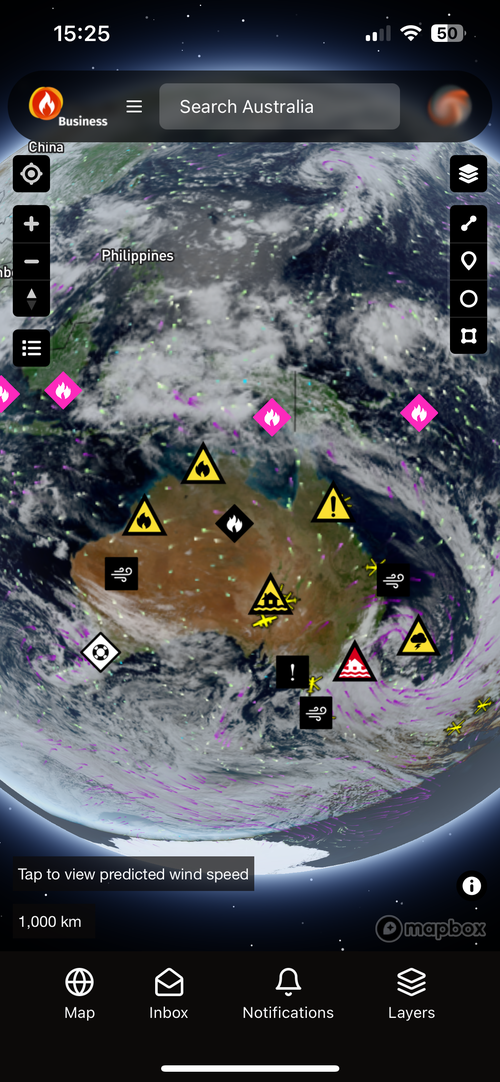
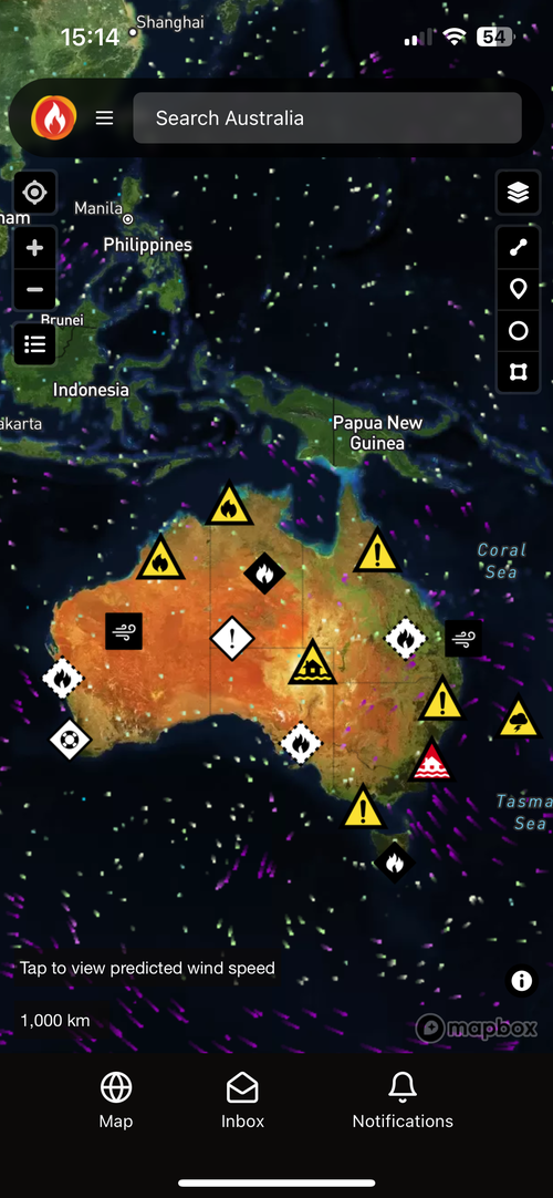
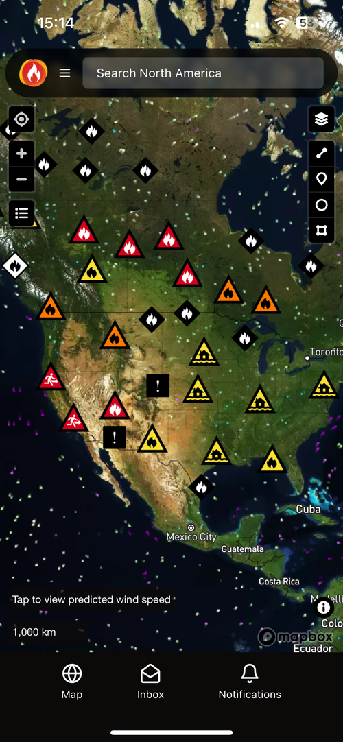
Your own branded disaster map, at national scale
Run Bushfire.io under your name and domain across web, iOS and Android. Publish your own warnings alongside official ones, and let us run the hosting, updates and peak-day load.
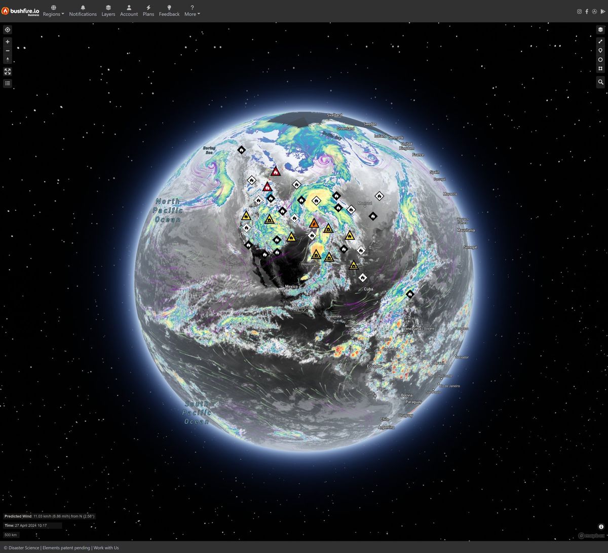
The same platform, proven at peak
- unique visitors in 30 days
- 1.24M
- requests in a single day
- 57.8M
- requests served in 30 days
- 2.18B
- of maps and data delivered in 30 days
- 64 TB
What's included
Everything you need to run a public disaster map
Your brand, your domain
Custom branding across web, iOS and Android, on your own domain.
Author your own warnings
Write, preview and publish advisories and local warnings, and notify the people who follow them.
Control layers and access
Choose which layers your audience sees, and manage who can author, approve and administer.
Built for peak load
Infrastructure engineered for the peak of the season, not the average day.
GIS-ready
Publish your layers to ArcGIS for public maps and internal dashboards.
Custom features
Work with our engineers to adapt the platform to your workflows, data sources and audience.
Who it's for
Built for agencies, councils and large public deployments
Cloud suits organisations that need to put live disaster information in front of the public under their own name: emergency agencies, councils, utilities and event operators.
- Branded, isolated environment for official use
- Public messaging and warnings at local, regional or national scale
- Handles millions of users during a crisis
Planning a public disaster map?
Tell us who you serve and where. We’ll scope a Cloud instance with you.