Bushfire.io app
The live disaster map for everyone
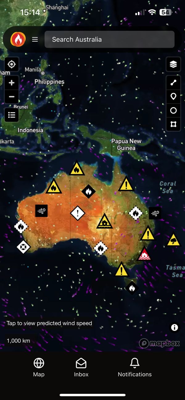
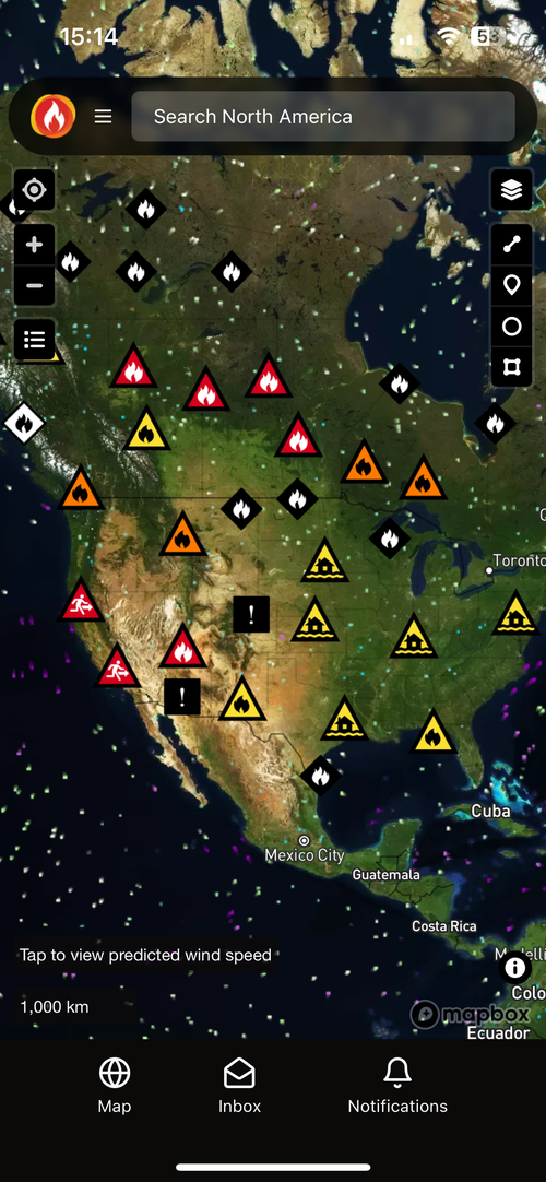
Fires, floods, storms and other emergencies across Australia, the United States, Canada and Europe, on one map that stays up on the worst day. Free on web, iOS and Android, with more for the people who need it.
1.24M visitors in 30 days over the 2025 to 2026 summer.
- unique visitors in 30 days
- 1.24M
- alerts delivered a month, outside fire season
- 7M
- more visitors than the same month a year earlier
- 2.4x
- regions covered live: Australia, the United States, Canada and Europe
- 4
Free for everyone
Everything you need to make a call
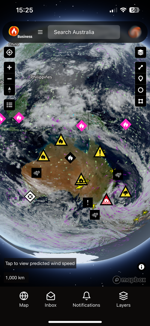
Live warnings and incidents
Alerts for your places
Set up alerts
Wind forecast
Pro
See more, sooner
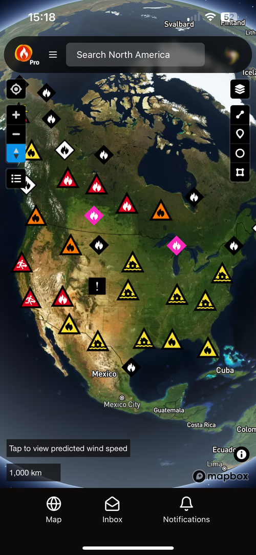
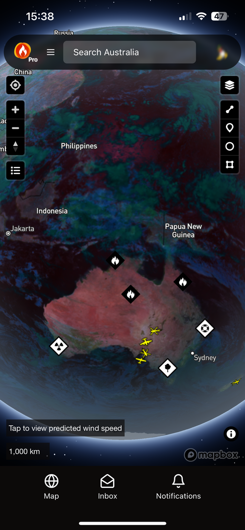
- Possible Fire Ignitions: likely new fires from lightning and satellite heat, often before any official report.
- Near real-time satellite: true colour and false colour for smoke, storms and fire edges, about 15 minutes behind real time.
- High-resolution wind: hourly BOM ADFD in Australia and NOAA HRRR in the US, in 3D over terrain.
- S2 infrared and NDVI basemaps: see vegetation condition, clearing and regrowth.
- Time Machine: step back through the last 30 days, hour by hour.
- 25 alert rules: polygons, SMS and email.
Business
Look after your team and your sites
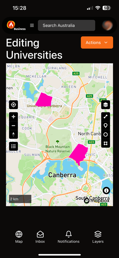
- Custom layers: points, lines and areas for your sites, routes and assets, imported from GeoJSON or drawn on the map.
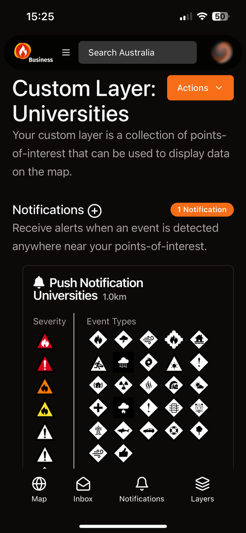
- Team alerts: warnings, incidents and possible ignitions near any site, to the people who need them.
- Licences and users: add staff, assign seats and manage access.
- 12-month Time Machine: review what happened, when.
From the public app
What people tell us
“This is a brilliant app. Having the wind direction helps enormously.”
“You have managed to create a masterpiece that is incredibly useful. Bravo.”
“If you live in a bushfire-prone area, you want this app.”
Pick your plan
Everyone
Always Free
The live disaster map for Australia, North America and Europe, with alerts for the places you care about.
- Live warnings, incidents and hotspots
- Up to 5 alert rules, push to any device
- Wind forecast and drawing tools
Individuals and power users
Pro
Deeper insight: Possible Fire Ignitions, near real-time satellite, high-resolution wind, 3D and Time Machine.
- Possible Fire Ignitions and lightning
- Near real-time satellite, infrared and NDVI basemaps
- 25 alert rules, polygons, SMS and email
Teams and small organisations
Business
Shared custom layers of your sites and assets, with alerts for your whole team.
- Custom layers of your sites, with team alerts
- Licence and user management
- 12-month Time Machine
Organisations, agencies and infrastructure operators
Enterprise
An organisation-wide licence with webhooks, APIs, GIS Services and the S2 basemap on one key.
- Organisation-wide licence, no per-user billing
- Webhooks, REST API and GIS Services
- S2 basemap and 3D terrain for your own apps
- Priority support and SLAs available
Every paid plan keeps the public map free. No ads, and we never sell user data.