Bushfire.io Pro
- Home /
- Categories /
- Bushfire.io Pro
How-to use Satellite Imagery
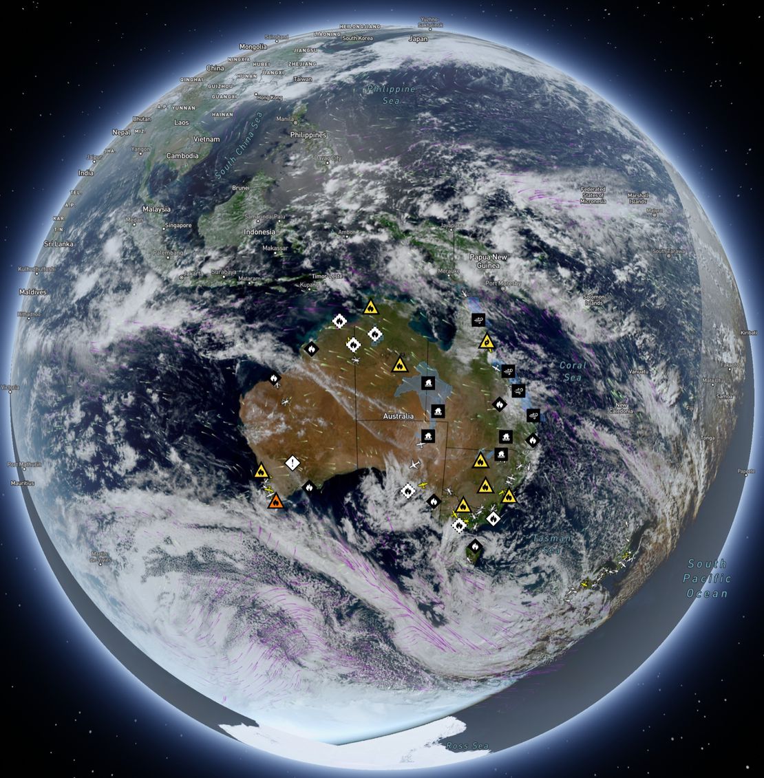
When you open Bushfire.io, the map you see — with towns, roads, and landscapes — comes from base imagery similar to Google Maps. That’s a static snapshot, refreshed every year or two in populated areas, but less often in remote regions.
Read More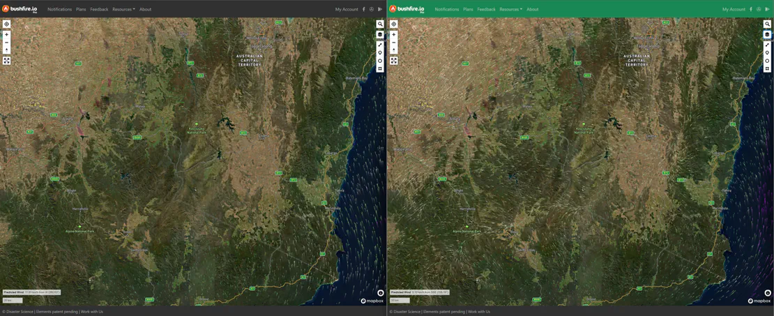
Using Different Wind Forecast Models
Bushfire.io Pro users can access multiple wind forecast models—including our new Australian Digital Forecast Database (ADFD) for Pro subscribers. ADFD is maintained by the Bureau of Meteorology (BoM) and better integrates local terrain and weather observations into its forecasts, making it especially reliable for Australian conditions.
Read More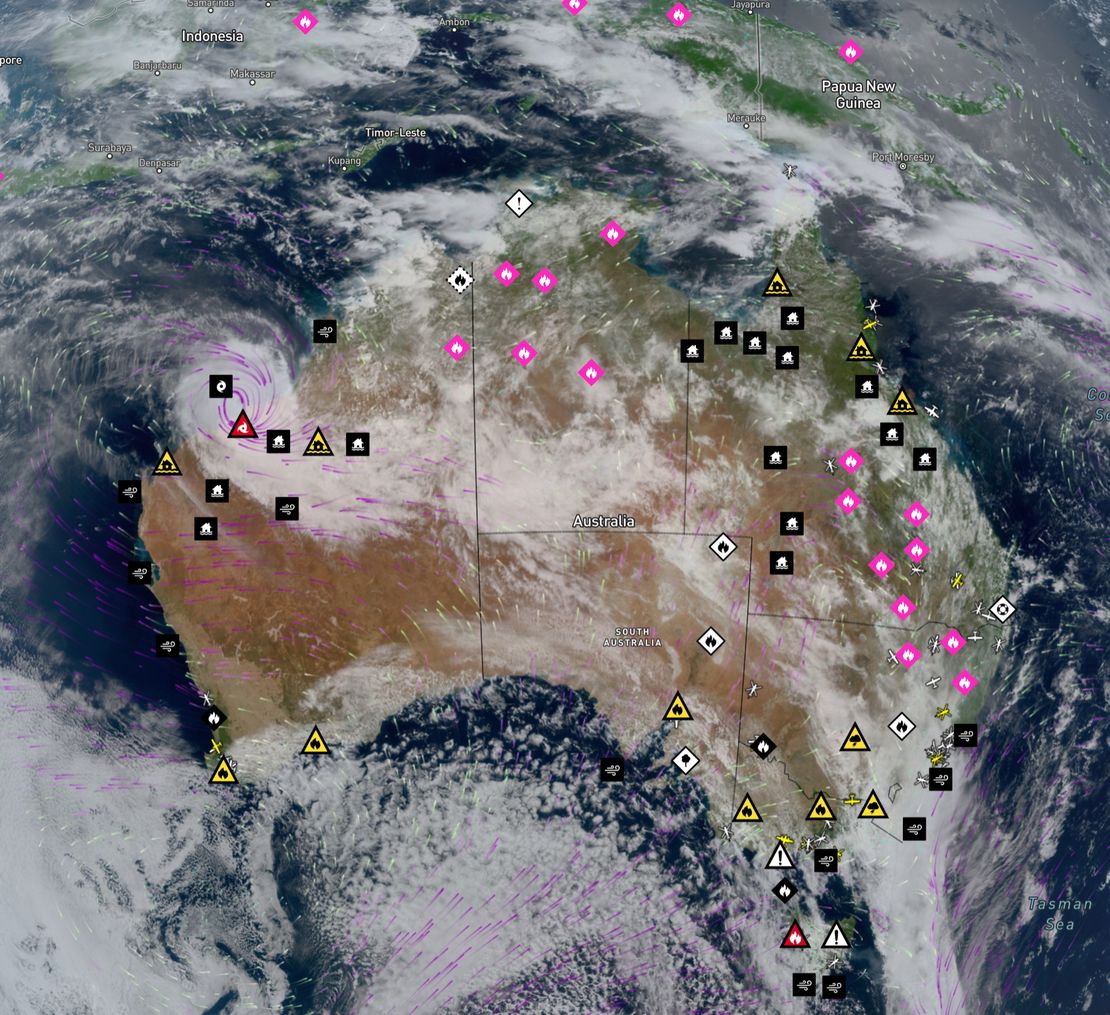
Learn more about Possible Fire Ignitions
Possible Fire Ignitions merges real-time lightning data with satellite-detected thermal hotspots.
Read More
What phone numbers do SMS messages come from?
Bushfire.io Pro users can receive SMS notifications. We may send messages to you from one of the following phone numbers. These numbers are one-way only and replies cannot be received.
Read More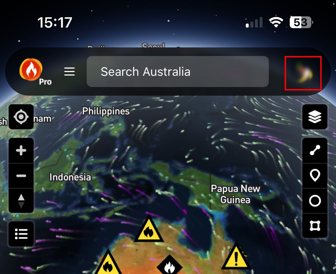
How do I Cancel Bushfire.io Pro?
We’re sorry to see you go 🙁 If there’s anything we can do to improve, please let us know by leaving feedback. Every feature and fix we make comes from your suggestions – even the small annoyances!
Read More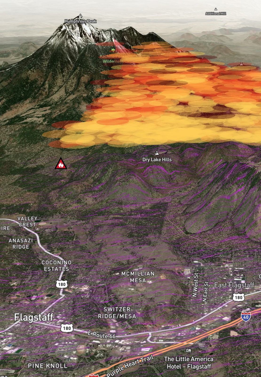
How do I use 3D mode in Bushfire.io Pro?
Bushfire.io 3D Mode is only available to subscribers of Bushfire.io Pro. You can subscribe at https://bushfire.io/ux/plans or find out more.
Read More