
Disaster Science
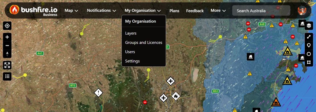
Enterprise Admin Guide: How do I manage my Organisation?
This guide is for the people who manage an Organisation on Bushfire.io Enterprise. It tells you where each admin tool is, what each role can do, and how to do the most common tasks.
Read More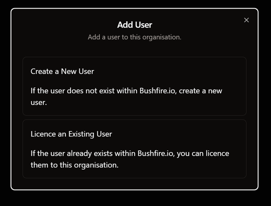
How do I add a user to my organisation?
There are two ways to add a person to your organisation. If the person has no Bushfire.io account, use Option 1. If the person already has an account, use Option 2.
Read More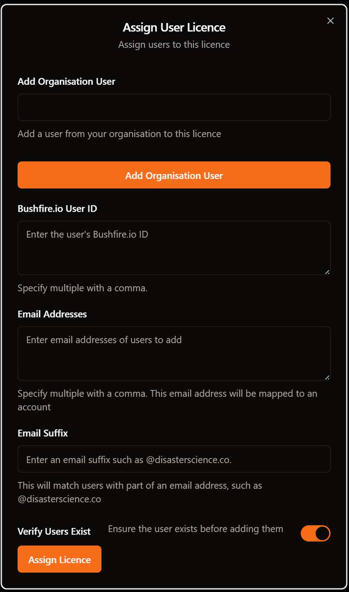
How do I licence everyone with our email domain?
An email suffix gives a licence to every person whose email address ends with your domain, for example @example.com.au. This includes people who create an account later. You do not need to add each person yourself.
Read More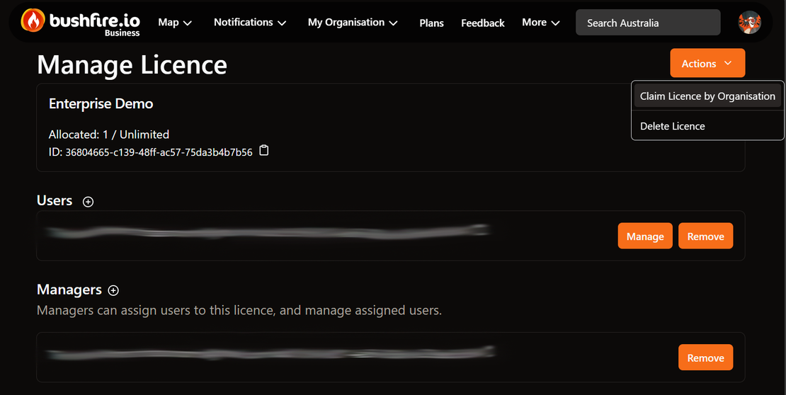
How do I remove a user who has left?
When a person leaves your organisation, remove their admin roles, their access to your custom layers and their licence. Their Bushfire.io account stays, with the features of their own plan only.
Read More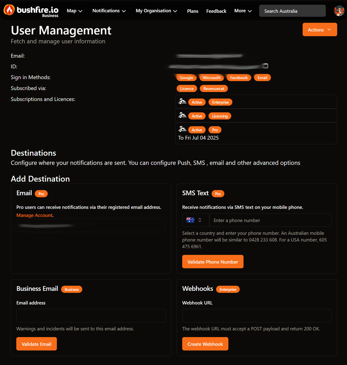
How do I make someone a manager?
There are two manager roles. Pick the role that gives the person only the access that they need.
Read More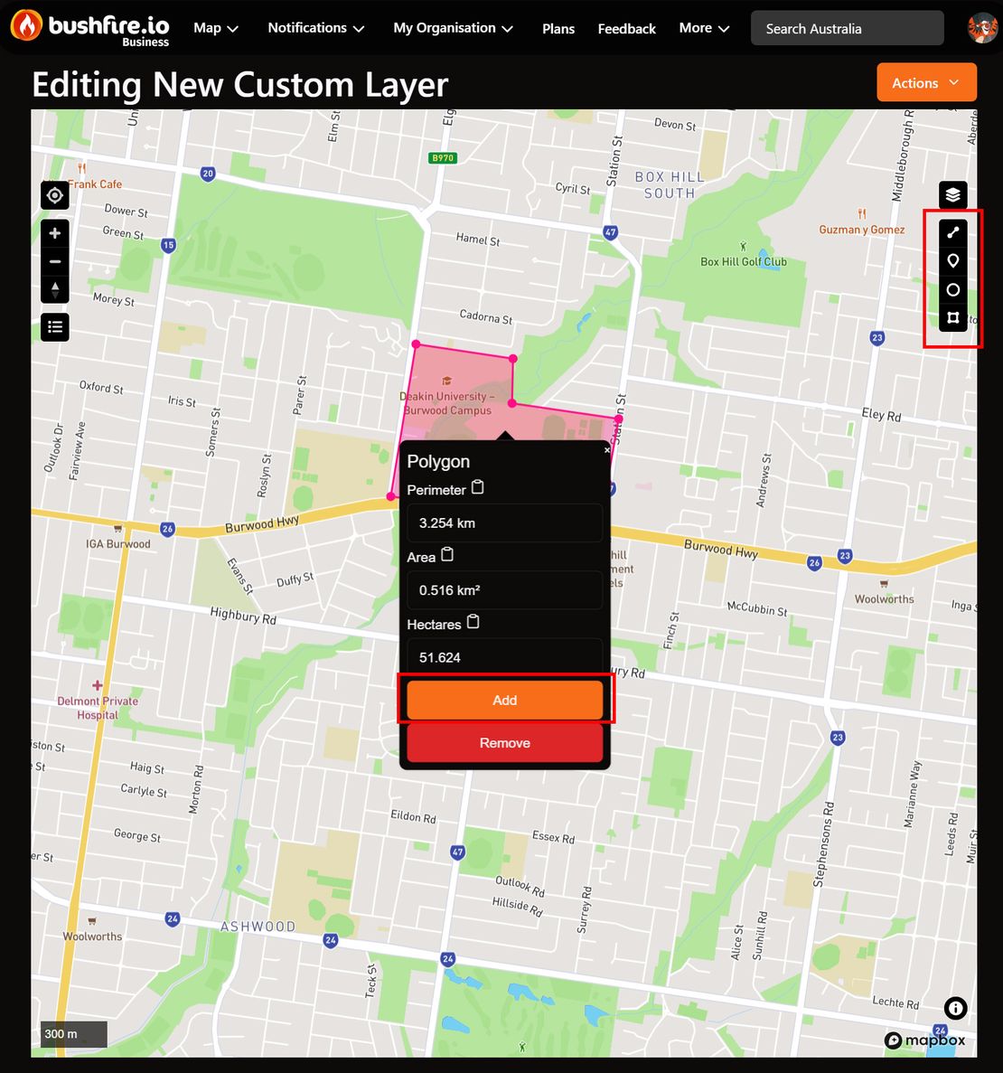
How do I add a site?
A site is a place that you want to watch, such as an office, a depot or a property. You add sites to a custom layer. Your team can then see the sites on the map and get alerts when an event is near them. The app calls sites “points of interest” or “features”.
Read More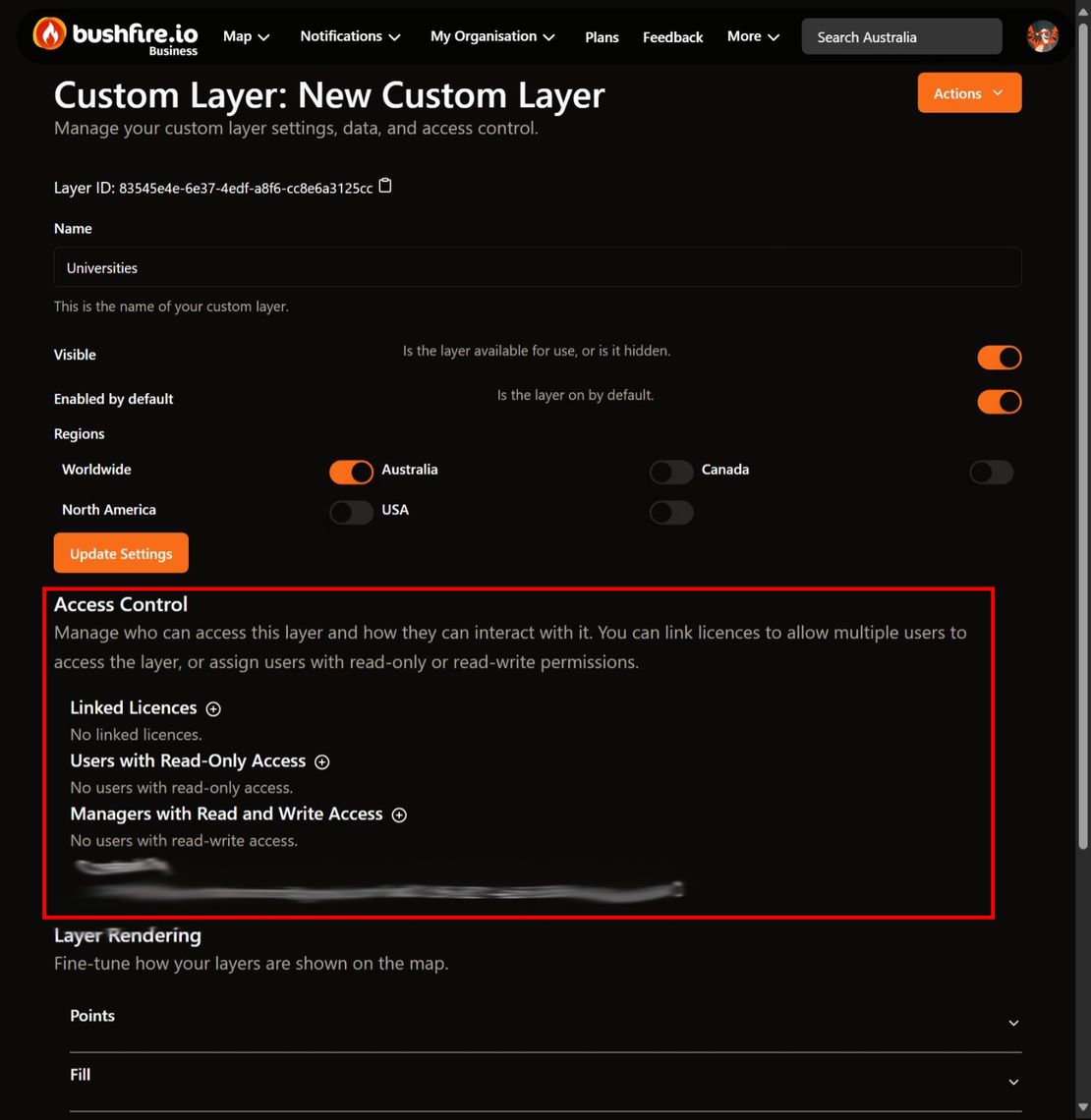
How do I share a layer with my team?
Only you can see a new custom layer. While a layer is not shared, its page shows Only you can see this layer. Share the layer so that your team can see your sites on the map.
Read More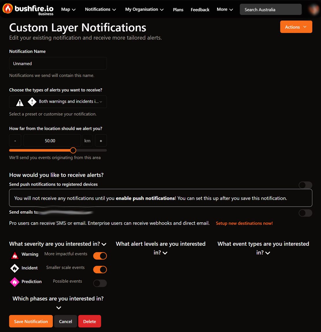
How do I get alerts near my sites?
A layer notification sends an alert when Bushfire.io detects an event near any site on a custom layer. Each layer notification belongs to one person. As an admin, you can create layer notifications for the people on your team.
Read MoreHow do I add a destination for a staff member?
A notification destination is a place where Bushfire.io sends alerts: an SMS number, an email address or a webhook. Each destination belongs to one person. Members can add their own destinations. Organisation Managers can also add destinations for members.
Read More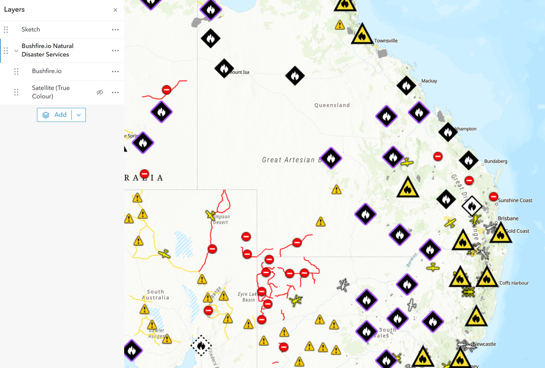
How do I connect Bushfire.io to ArcGIS and QGIS?
Bushfire.io GIS Services bring our live map into the GIS you already use. Warnings, incidents, hotspots, Possible Fire Ignitions and global near real-time satellite are published as standard WMTS, WMS and XYZ services, together with our Sentinel-2 basemap and 3D terrain. You connect with an access key that you create and manage yourself.
Read More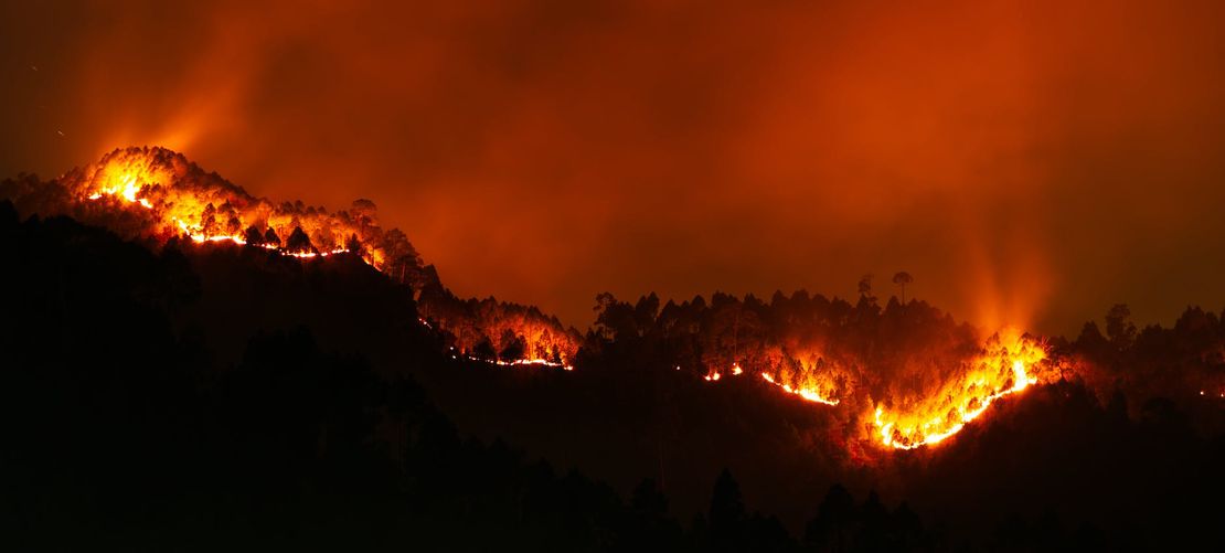
How is Bushfire.io secured?
Bushfire.io runs on infrastructure we own and operate in Australia, secured with enforced multi-factor authentication, Zero Trust access, encrypted storage and transport, continuous vulnerability management and centralised monitoring.
Read More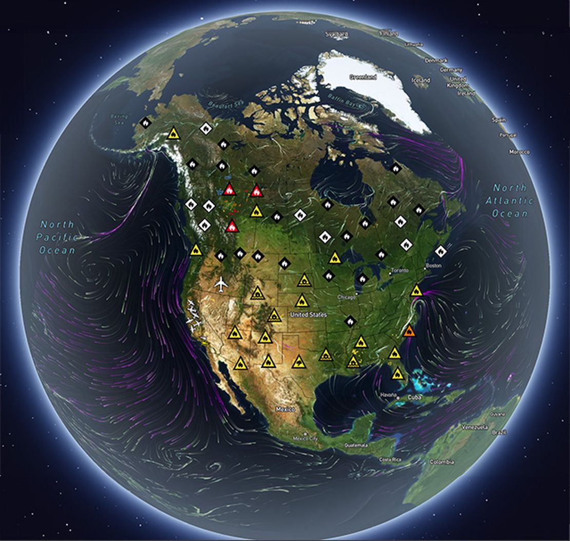
Why is my satellite imagery out of date?
If you’ve zoomed in on the Bushfire.io satellite map and noticed it looks years old (a recently built house missing, a new road not visible, a development that doesn’t appear), this page explains why, and what your options are.
Read More
Supported Devices
Bushfire.io works on a wide range of devices and platforms, from phones and tablets to desktops and laptops. Performance depends on your device, browser and hardware.
Read More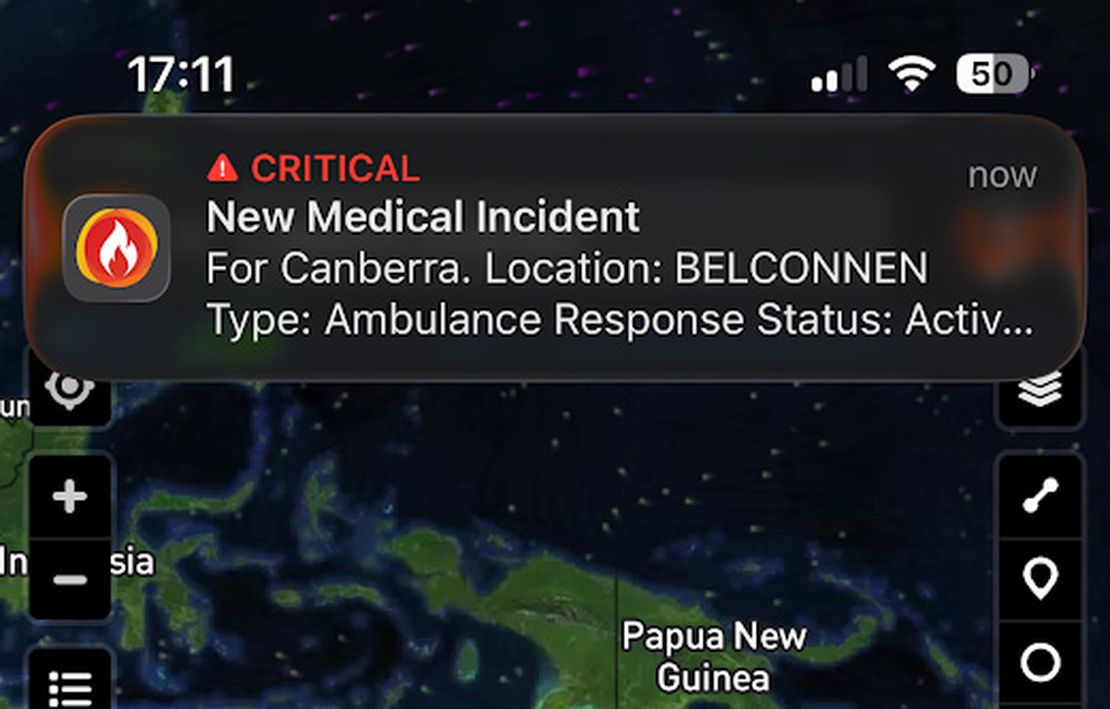
Using Critical Alerts
Bushfire.io supports Critical Alerts on iOS and Do Not Disturb overrides on Android, so that essential emergency warnings sound even when your device is silenced. These features let life-threatening alerts reach you, even if your phone is in silent mode, Do Not Disturb, or focus mode.
Read More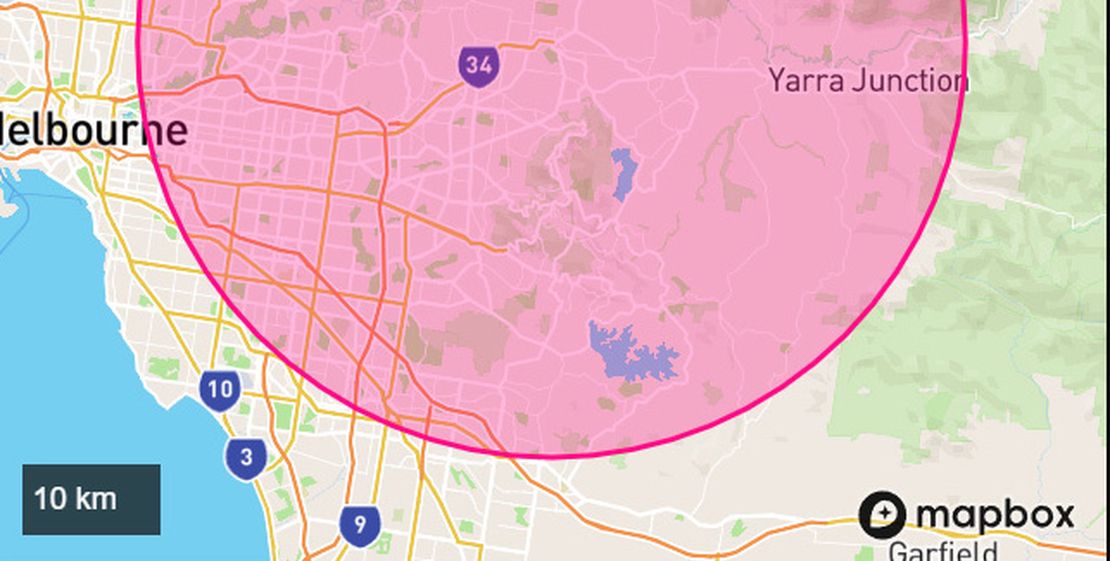
How to Set Up Notifications
Bushfire.io can send you notifications when fires, floods, storms, or other warnings or incidents occur anywhere in Australia, Canada, Europe, and the USA.
Read More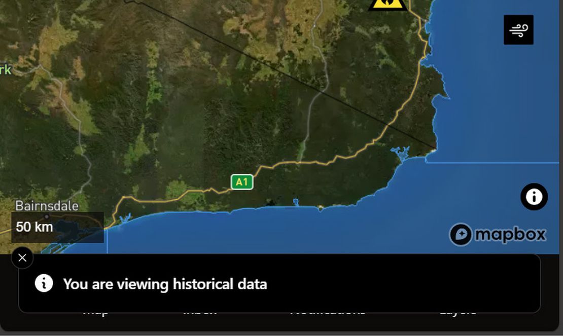
Using the Time Machine
Bushfire.io’s Time Machine lets you explore the map as it looked in the past or jump forward to view predicted wind conditions. Whether you’re reviewing how an incident unfolded or planning ahead, Time Machine provides an interactive way to see disaster data through time.
Read More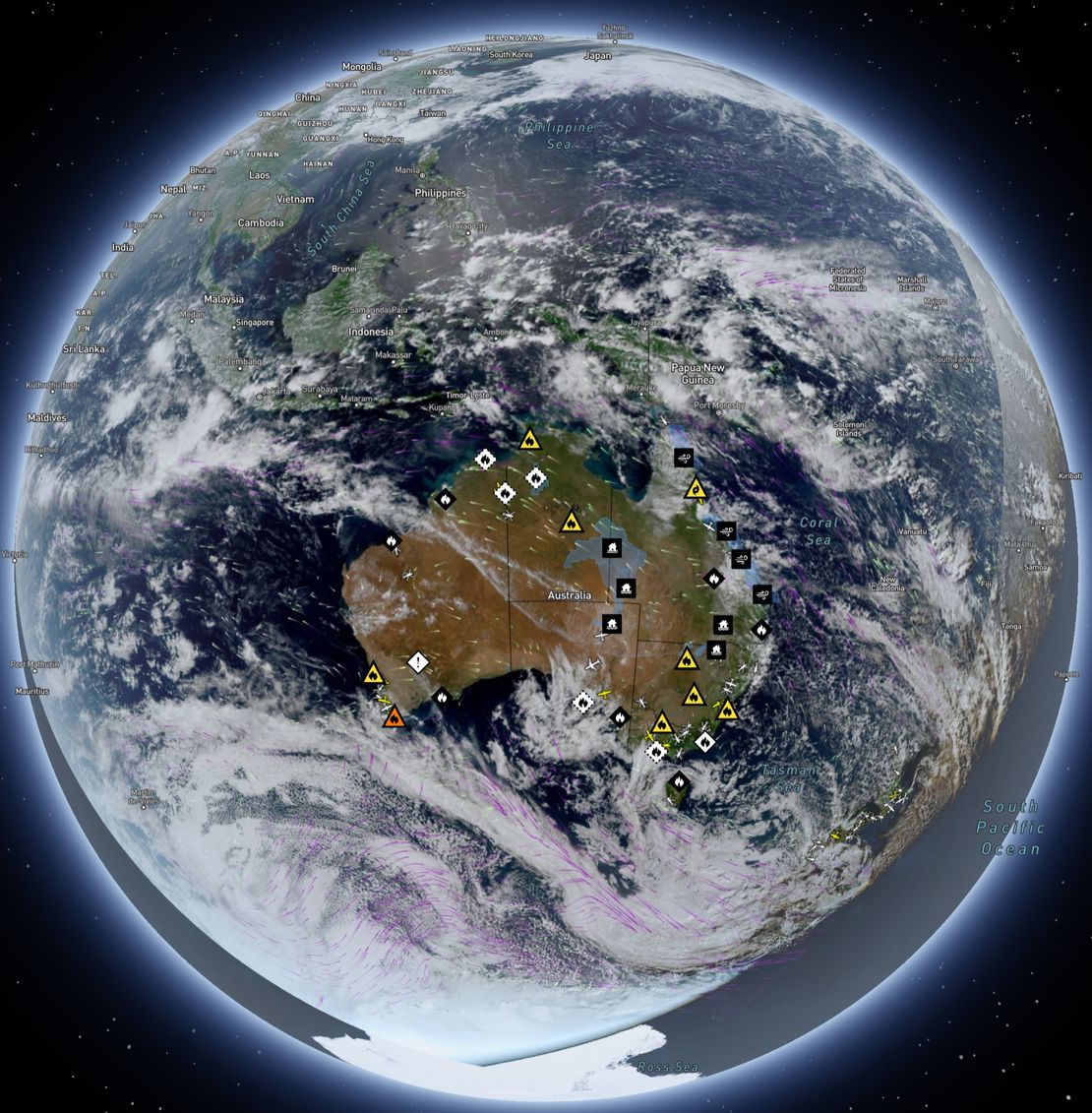
How to use Satellite Imagery
When you open Bushfire.io, the map you see, with towns, roads, and landscapes, comes from base imagery similar to Google Maps. That imagery is a static snapshot, refreshed every year or two in populated areas and less often in remote regions. (For more on why the static satellite base map can look out of date and how Pro’s ESRI imagery helps, see Why is my satellite imagery out of date?.)
Read More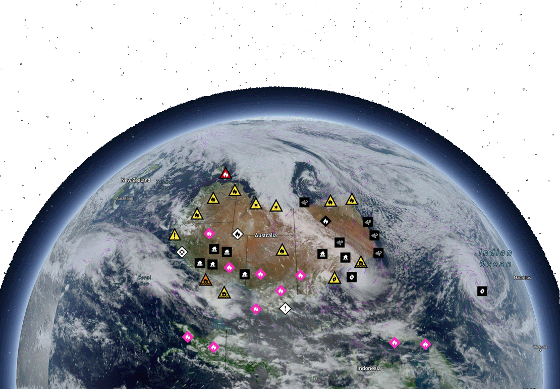
Supported Regions
Bushfire.io provides disaster intelligence across a growing number of countries and regions. Feature availability varies by region, often because of differences in data sources, partner agency support or technical limits.
Read More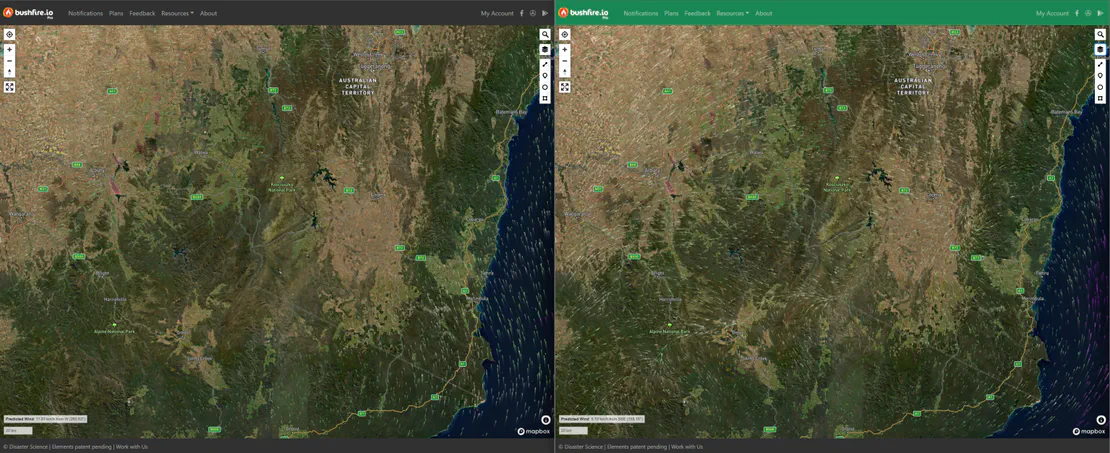
Using Different Wind Forecast Models
Bushfire.io Pro users can access multiple wind forecast models, including the Australian Digital Forecast Database (ADFD) from the Bureau of Meteorology (BOM). ADFD includes local terrain and weather observations in its forecasts, which makes it especially reliable for Australian conditions.
Read More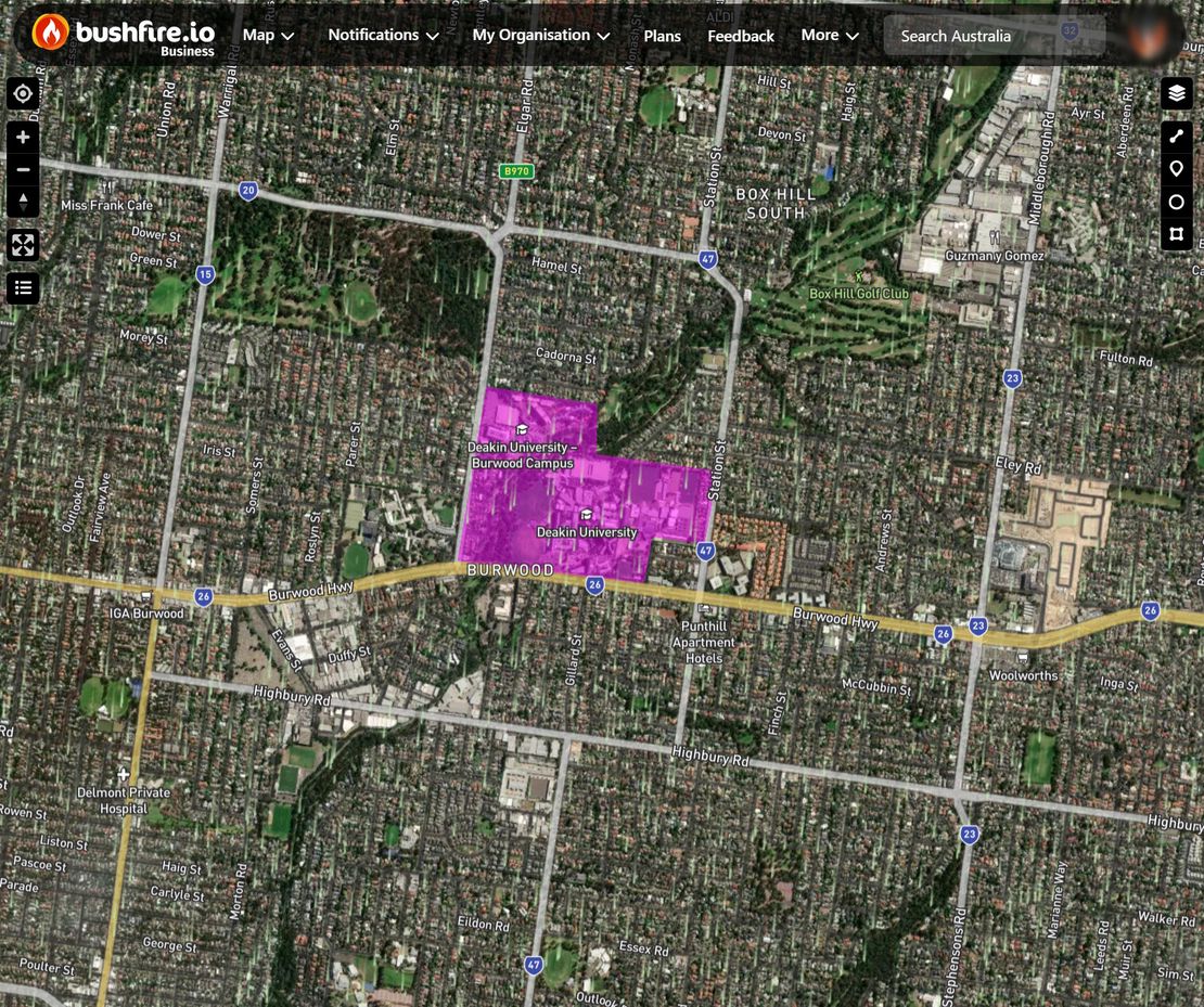
How do I Set Up Custom Layers?
Custom Layers lets Business and Enterprise subscribers create and manage their own data layers for situational awareness, internal operations or their own map overlays. You can customise how each layer looks, who sees it, and when you’re notified about relevant events nearby.
Read More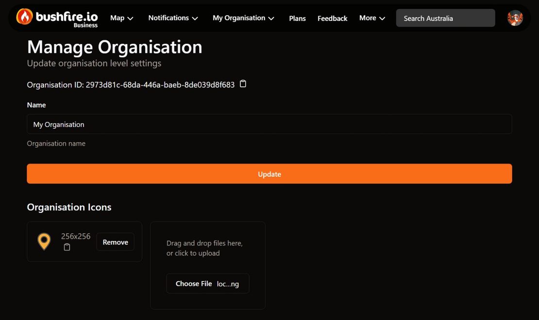
How do I Set Up Organisation Users?
Managing users is a core feature of Bushfire.io Business and Enterprise. Depending on how your organisation is licensed, you can either create an unlimited number of users or assign specific licence types (Pro, Business) to users under a quota model.
Read More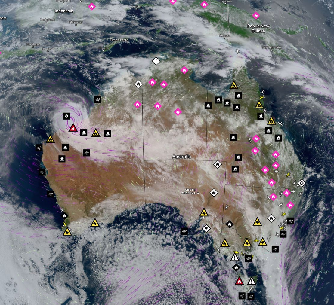
Learn more about Possible Fire Ignitions
Possible Fire Ignitions merges real-time lightning data with satellite-detected thermal hotspots.
Read MoreWhy do we require login?
Why Do We Require Login for Interactive Resources? We ask you to sign in when you want to set up notifications, save preferences, or access more advanced features. This requirement:
Read MoreWhat phone numbers do SMS messages come from?
Bushfire.io Pro users can receive SMS notifications. We send messages from one of the phone numbers below. These numbers are one-way only, so we cannot receive replies.
Read More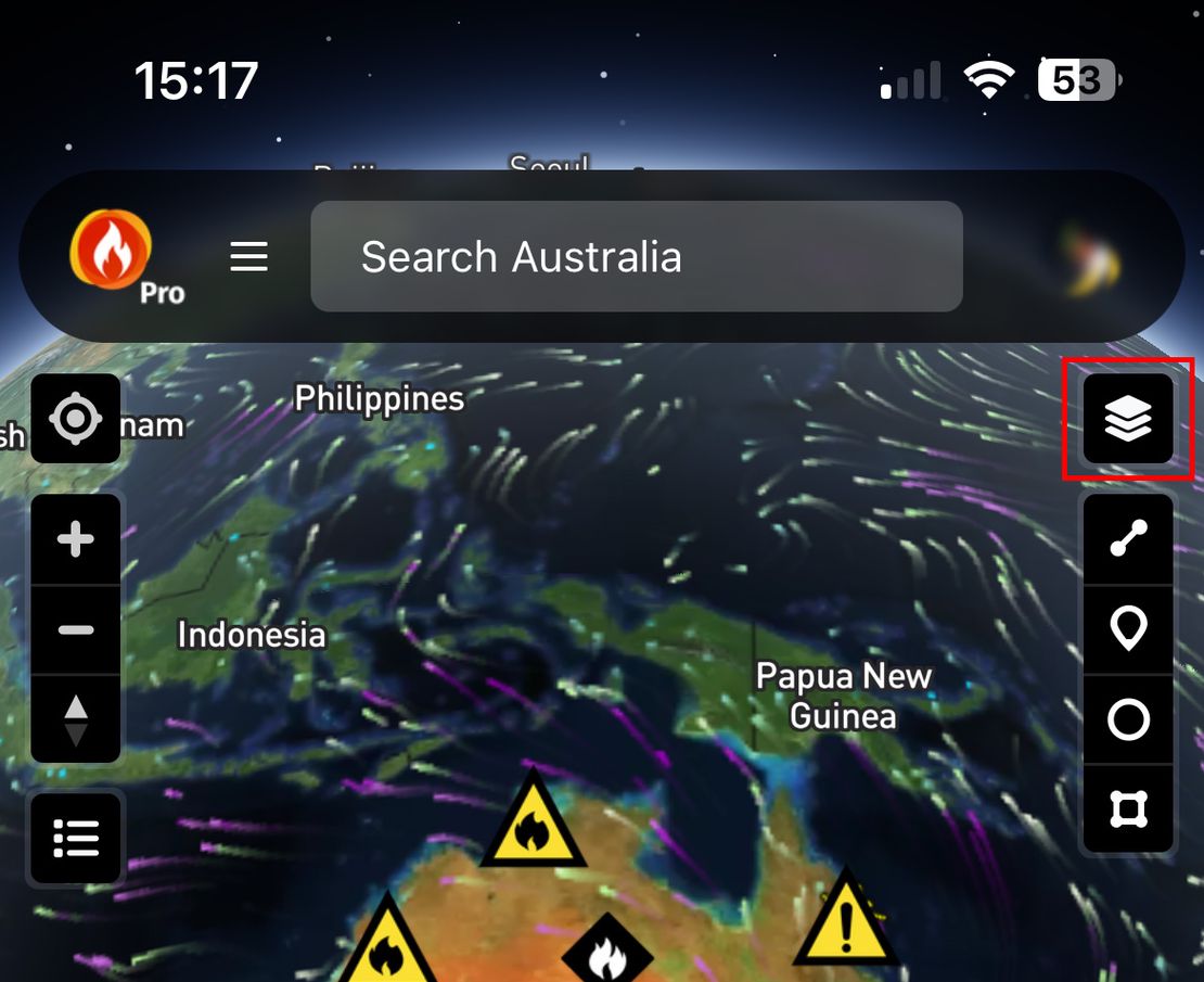
How to customise what is shown on the map
You can customise what is shown on the map by turning layers on or off.
Read More
Bushfire.io and Flightradar24
Our Partnership Bushfire.io has partnered with Flightradar24 to provide real-time tracking of emergency response aircraft. Flightradar24 hosts the largest ADS-B network in the world, providing unrivalled coverage of the USA, Canada and Australia. This helps us serve regional and remote areas better, with more information available when a natural disaster happens. You can see more aircraft in flight, which helps keep people safe.
Read More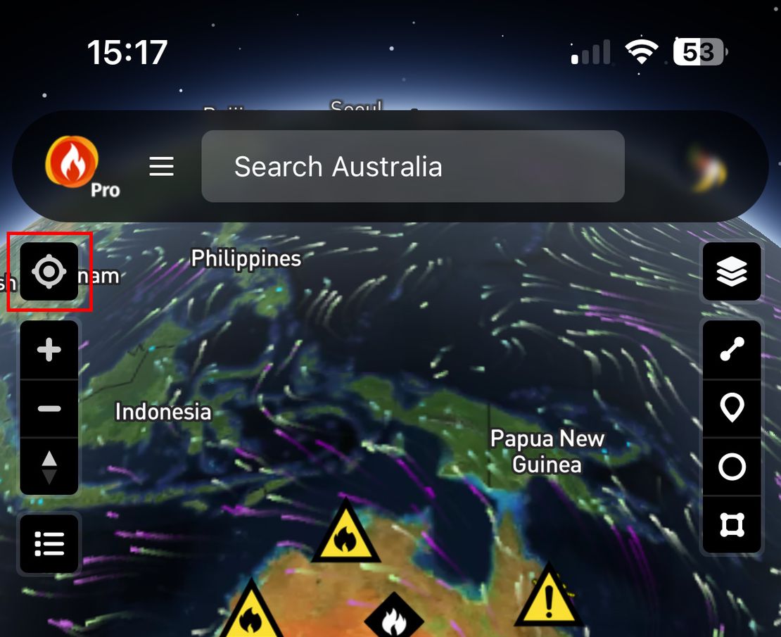
Why is my location not accurate?
Sometimes the location that Bushfire.io shows for your device is not where you really are.
Read More
How do I Cancel Bushfire.io Pro?
We’re sorry to see you go 🙁 If there is anything we can do to improve, please tell us through feedback. Every feature and fix we make comes from your suggestions, even the small annoyances.
Read MoreHow do I fix a blank map/screen/app?
Some users have a rare problem that makes the app or screen go blank. Work through the steps below.
Read More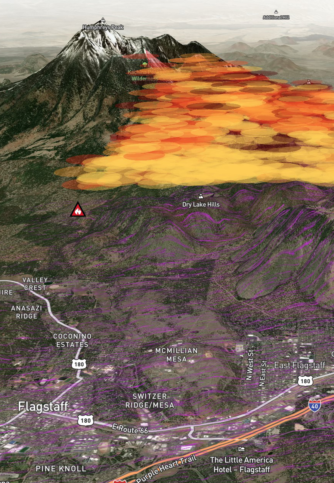
How do I use 3D mode in Bushfire.io Pro?
Bushfire.io 3D Mode is available on Bushfire.io Pro, Business and Enterprise. You can subscribe or find out more at https://bushfire.io/ux/plans.
Read More
How to fix “Failed to initialize WebGL”
WebGL was introduced with Bushfire.io v3. We use WebGL to display interactive content on the map. WebGL uses your computer’s graphics card for demanding work, such as flying around the map, so that content displays quickly. With WebGL, Bushfire.io uses less CPU and memory, and responds faster.
Read More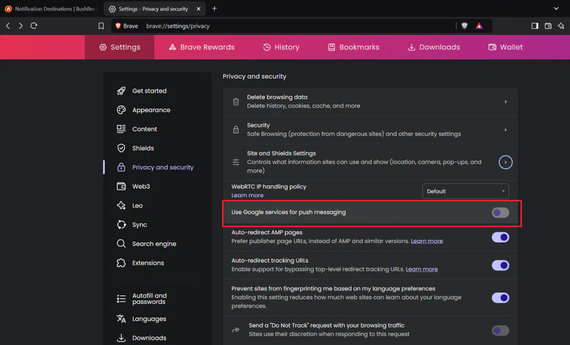
How to fix location or notification permissions
Common Problems “I am having trouble enabling location or notification permissions” “I’ve recently updated my Android device, and I cannot receive notifications.” Bushfire.io on Android If you cannot turn on notifications, or you do not get any notifications, make sure that the Bushfire.io App has the correct permissions.
Read More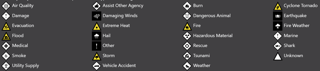
What do the icons mean?
We have tried to make the symbols, icons and colours easy to understand, but there is a lot to interpret.
Read More