Covering Australia, North America and Europe
When nature roars, we respond.
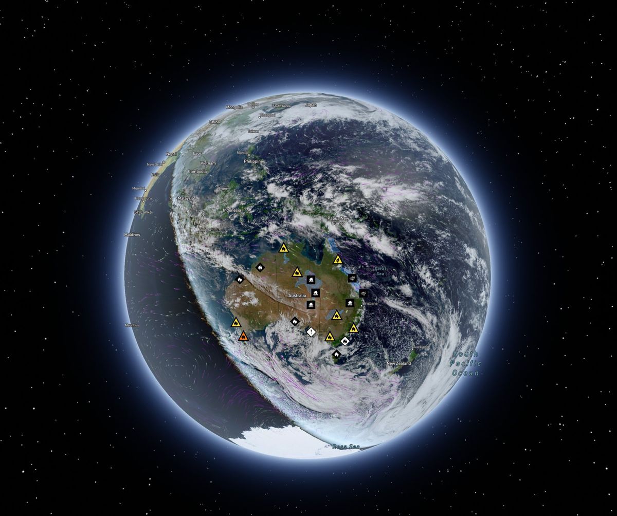
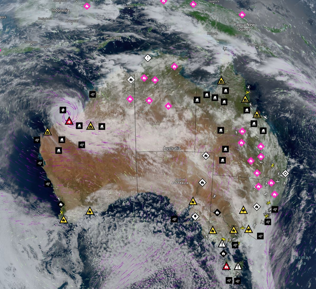
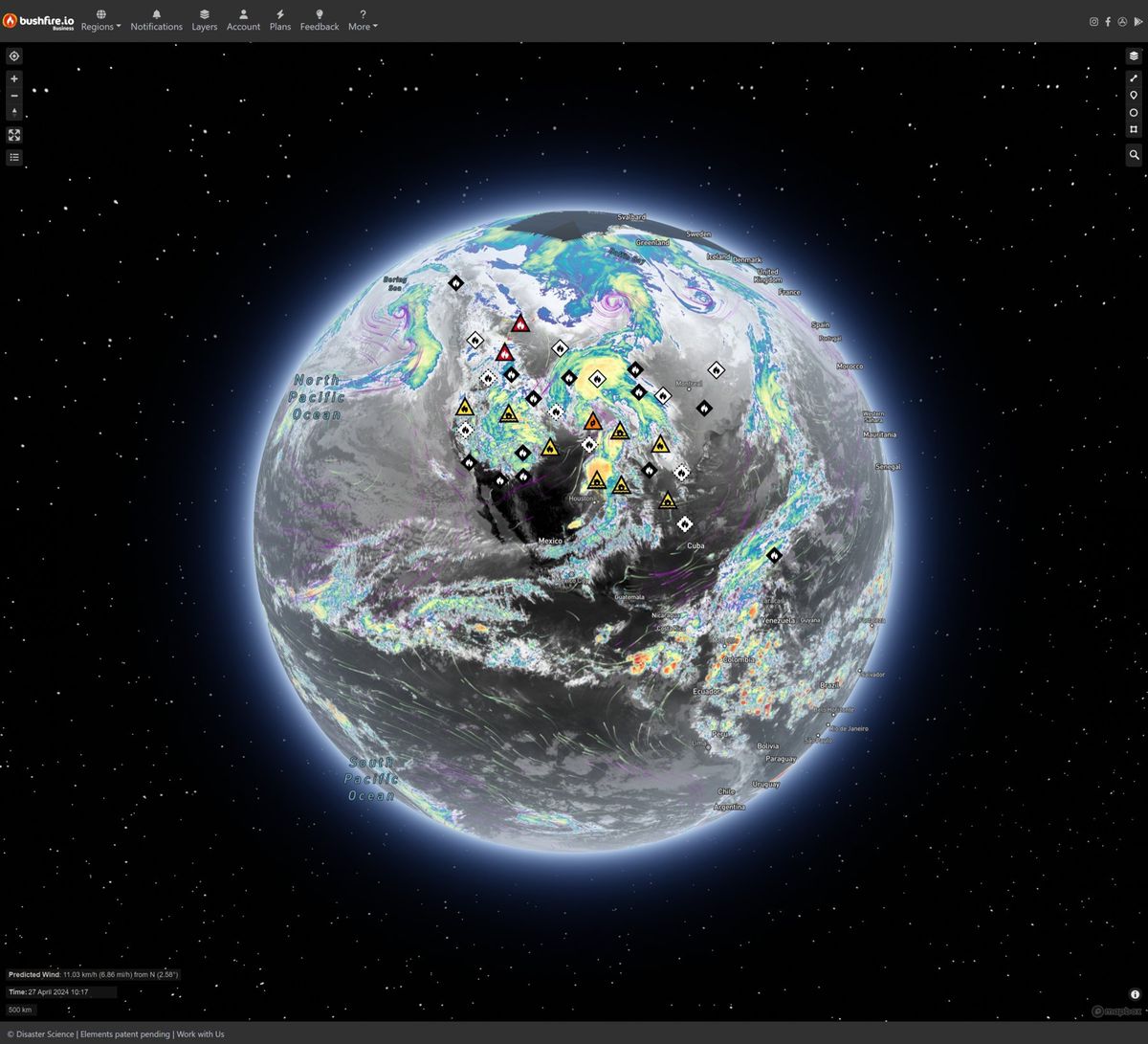
Weather disasters have increased five-fold in 50 years. Bushfire.io gives everyone a free live map of warnings, fires and satellite imagery, and tells organisations the moment their people and sites are at risk.
Relied on by
Trusted by organisations that keep Australia running



Why it matters
Early warnings save lives
The World Meteorological Organization counted more than 11,000 weather, climate and water disasters between 1970 and 2019, and the number grew five-fold over that period. In 2021 alone, the EM-DAT disaster database recorded 432 disasters affecting 101.8 million people.
The same WMO report found that disaster deaths fell almost three-fold over those 50 years, thanks to better early warnings and disaster management. That is our work: putting live warnings, fires, lightning, satellite imagery and wind in front of the people who need them, in time to act.
Built for the worst day of the season
Disaster days are traffic-spike days. We engineer for the peak, so the map stays up when everyone needs it at once.
- unique visitors in 30 days
- 1.24M
- requests served in 30 days
- 2.18B
- alerts delivered a month, outside fire season
- 7M
- of maps and data delivered in 30 days
- 64 TB
What we do
One live platform, many ways to use it
The same data that keeps the public informed, delivered where your teams already work.
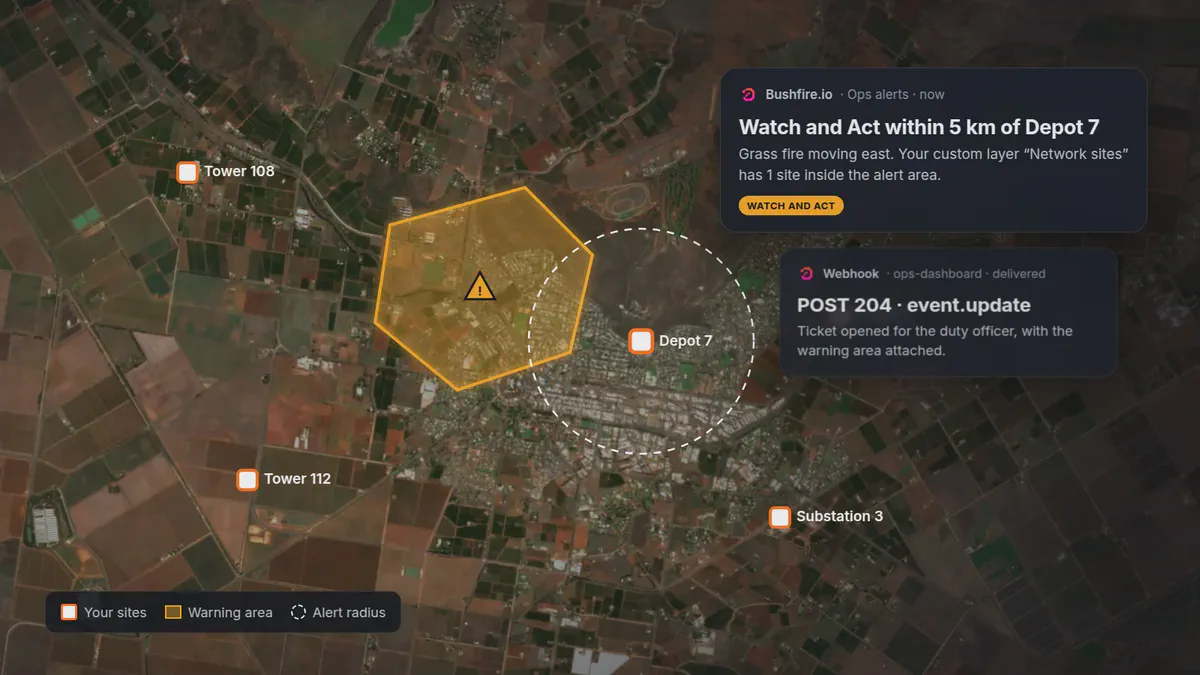
Enterprise and API
Alerts for every site you look after
Explore Enterprise
Bushfire.io app
Free for the public
See the app
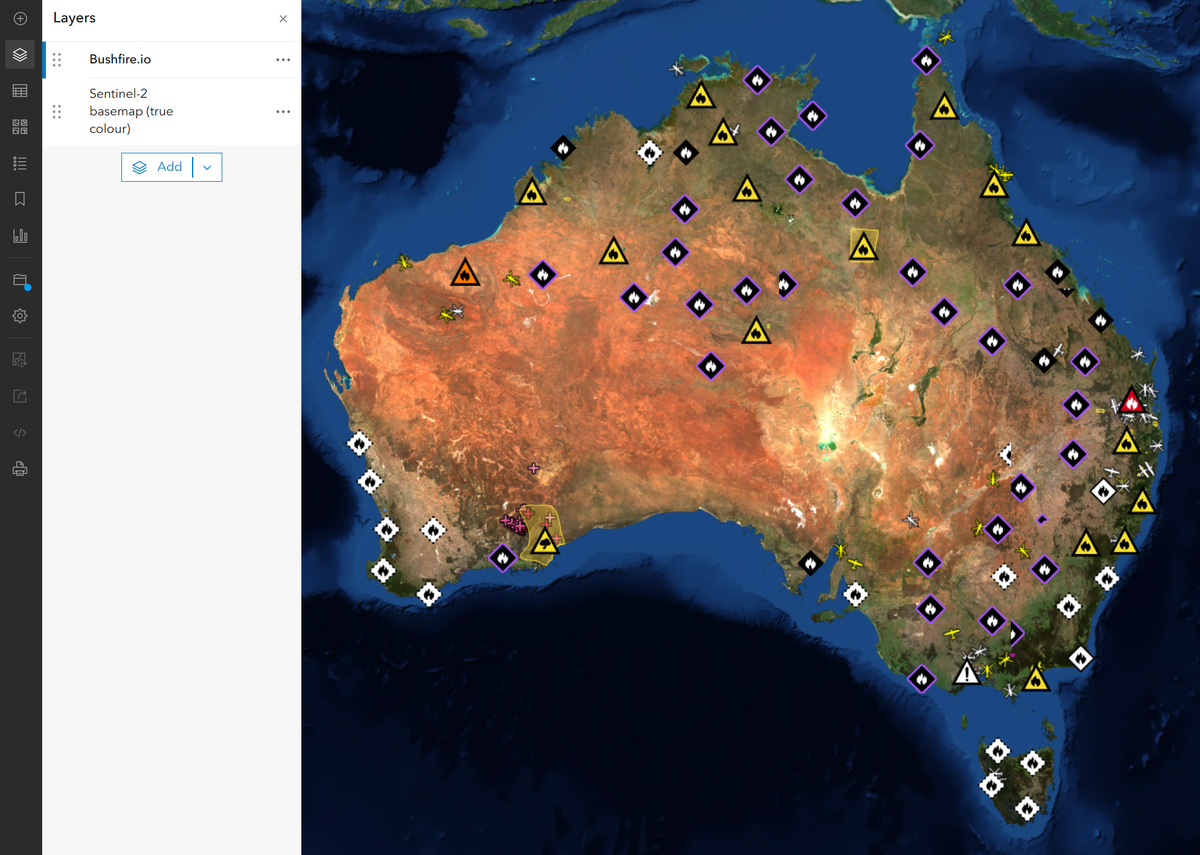
GIS Services
Everything on our map, inside ArcGIS and QGIS
Explore GIS Services
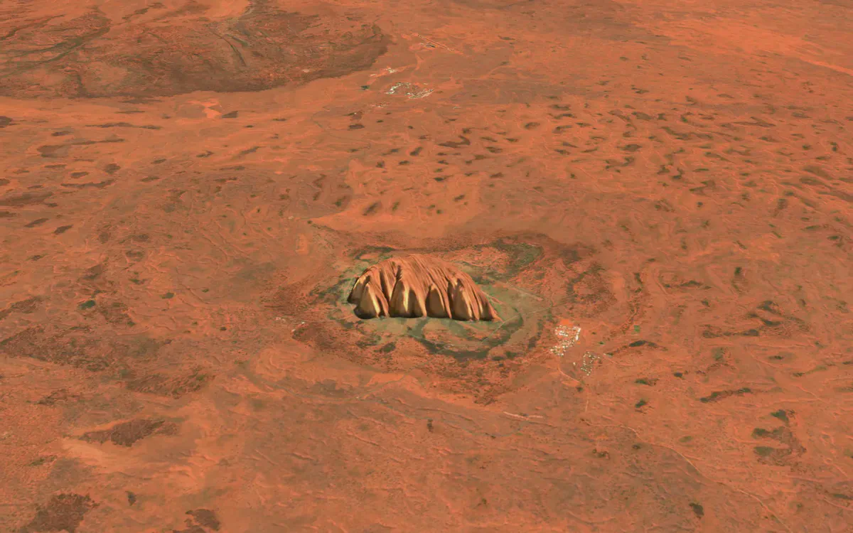
S2 Basemap
A current 10 m view, every quarter
Explore the basemap
S2 Basemap
This quarter, not three years ago
Most satellite basemaps are patchworks captured years apart. Ours is rebuilt from Copernicus Sentinel-2 every quarter, so clearing, regrowth and seasonal change actually show. Drag to compare true colour with NDVI.
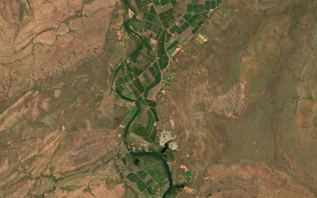
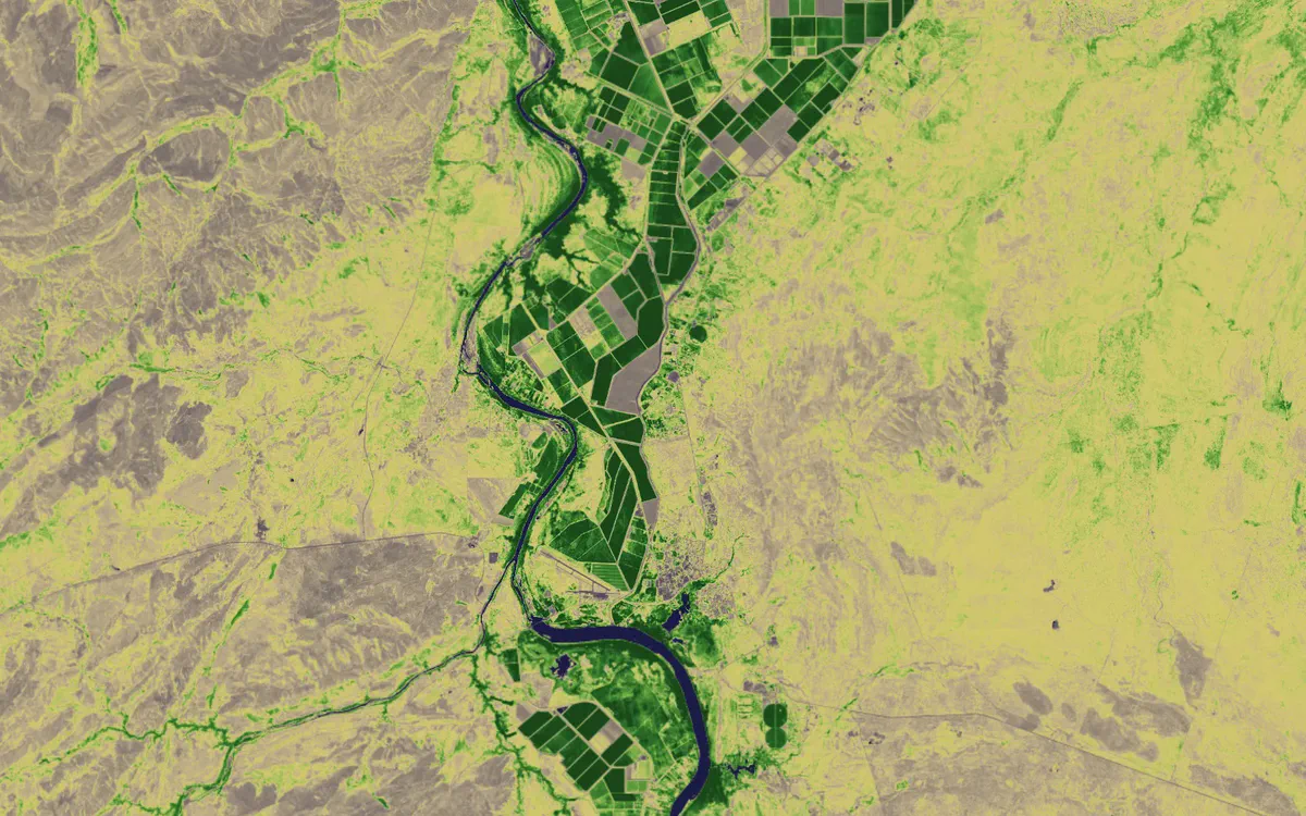
Ord River irrigation area, Western Australia, 2026 Q2. Contains modified Copernicus Sentinel data 2026.
How it fits
Fits the stack you already run
We gather, clean and join the feeds. You choose how they arrive.
Sources
- Official agency warnings and incidents
- Satellite hotspots and near real-time imagery
- Lightning and fire ignition detection
- Wind models, roads and fire danger
Platform
- Bushfire.io
Delivered as
- Push, SMS and email alerts
- Webhooks and REST API
- WMTS, WMS, XYZ and WFS
- S2 basemap and 3D terrain
Into
- Field staff phones
- Operations dashboards and SCADA
- ArcGIS, QGIS and FME
- Your own apps and websites
Why organisations choose us
Serious infrastructure, run by the people who built it
Proven at peak
Security you can read
Security and trust
Australian, built here
Engineers, not a call centre
Plans
Free for the public, funded by organisations like yours
Every paid plan keeps the public map free. No ads, and we never sell user data.
Everyone
Always Free
The live disaster map for Australia, North America and Europe, with alerts for the places you care about.
- Live warnings, incidents and hotspots
- Up to 5 alert rules, push to any device
- Wind forecast and drawing tools
Individuals and power users
Pro
Deeper insight: Possible Fire Ignitions, near real-time satellite, high-resolution wind, 3D and Time Machine.
- Possible Fire Ignitions and lightning
- Near real-time satellite, infrared and NDVI basemaps
- 25 alert rules, polygons, SMS and email
Teams and small organisations
Business
Shared custom layers of your sites and assets, with alerts for your whole team.
- Custom layers of your sites, with team alerts
- Licence and user management
- 12-month Time Machine
Organisations, agencies and infrastructure operators
Enterprise
An organisation-wide licence with webhooks, APIs, GIS Services and the S2 basemap on one key.
- Organisation-wide licence, no per-user billing
- Webhooks, REST API and GIS Services
- S2 basemap and 3D terrain for your own apps
- Priority support and SLAs available
Data and technology partners



See your assets on the live map
Tell us what you look after and where. We’ll show you what Bushfire.io would have told your team this season, in 20 minutes.